Transport Functions
Multimodal
Hub Profile
Place type
Populated place
Region
Cochabamba
Population
47,000
Time zone
America/La_Paz
Elevation
2,588 m
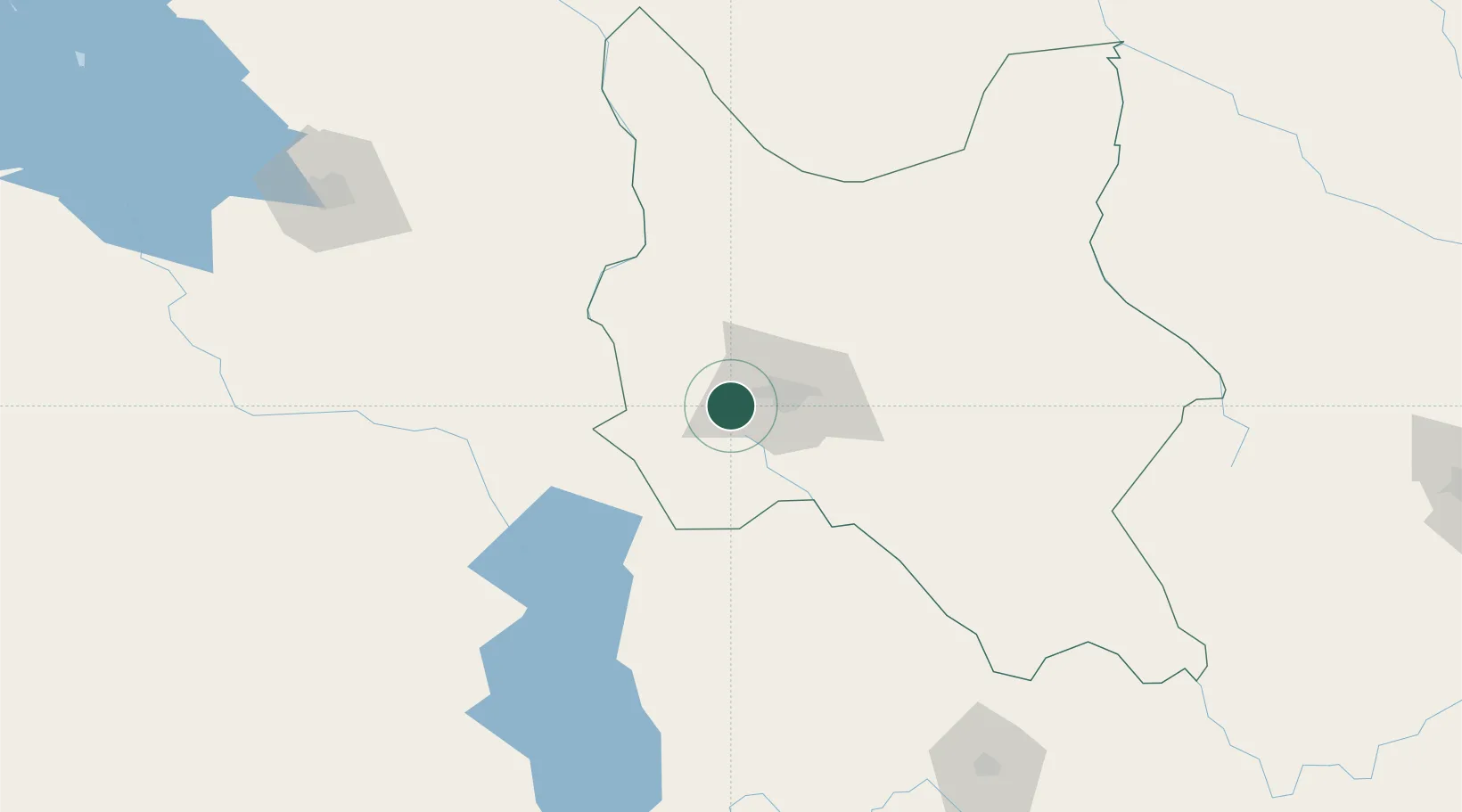
Location
Nearby Logistics Neighbours
Ports
- 1Rada De Arica433 km
- 2Iquique502 km
- 3Puerto Ilo529 km
- 4Caleta Patillos542 km
- 5Bahia De Matarani611 km
Airports
DatabookThe Record of Consolidated Knowledge
Bolivia beyond logistics?