Transport Functions
Multimodal
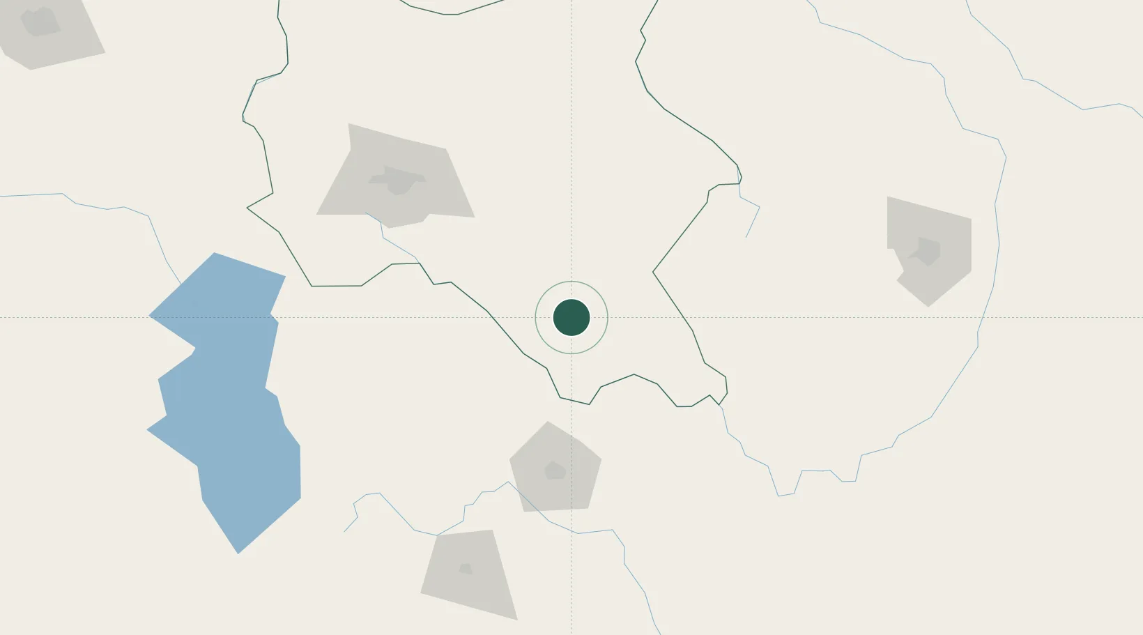
Hub Profile
Place type
Populated place
Region
Cochabamba
Population
8,224
Time zone
America/La_Paz
Elevation
2,258 m
Location
Nearby Logistics Neighbours
Cities
- 1Sucre97 km
- 2Sipe Sipe152 km
- 3Oruro207 km
- 4Santa Cruz222 km
- 5La Asunta319 km
Ports
- 1Rada De Arica546 km
- 2Iquique572 km
- 3Caleta Patillos600 km
- 4Puerto Ilo659 km
- 5Tocopilla685 km
Airports
DatabookThe Record of Consolidated Knowledge
Bolivia beyond logistics?