Transport Functions
Rail
Hub Profile
Place type
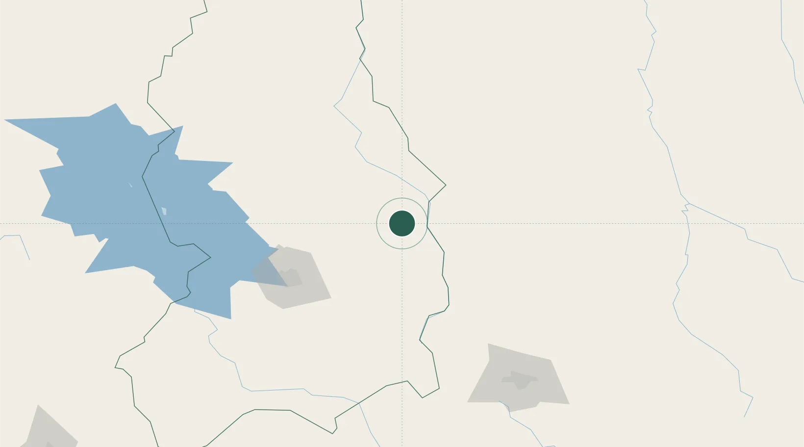
Populated place
Region
La Paz Department
Time zone
America/La_Paz
Elevation
855 m
Location
Nearby Logistics Neighbours
Cities
- 1El Alto119 km
- 2La Paz123 km
- 3Puerto Pérez159 km
- 4Huatajata168 km
- 5Sipe Sipe178 km
Ports
- 1Rada De Arica432 km
- 2Puerto Ilo481 km
- 3Bahia De Matarani539 km
- 4Iquique561 km
- 5Caleta Patillos613 km
Airports
- 1El Alto International Airport121 km
- 2Rurrenabaque Airport182 km
- 3Jorge Wilsterman International Airport187 km
- 4Juan Mendoza International Airport214 km
- 5Chimore Airport240 km
DatabookThe Record of Consolidated Knowledge
Bolivia beyond logistics?