Large airport · Bolivia

Juan Mendoza International AirportSLOR
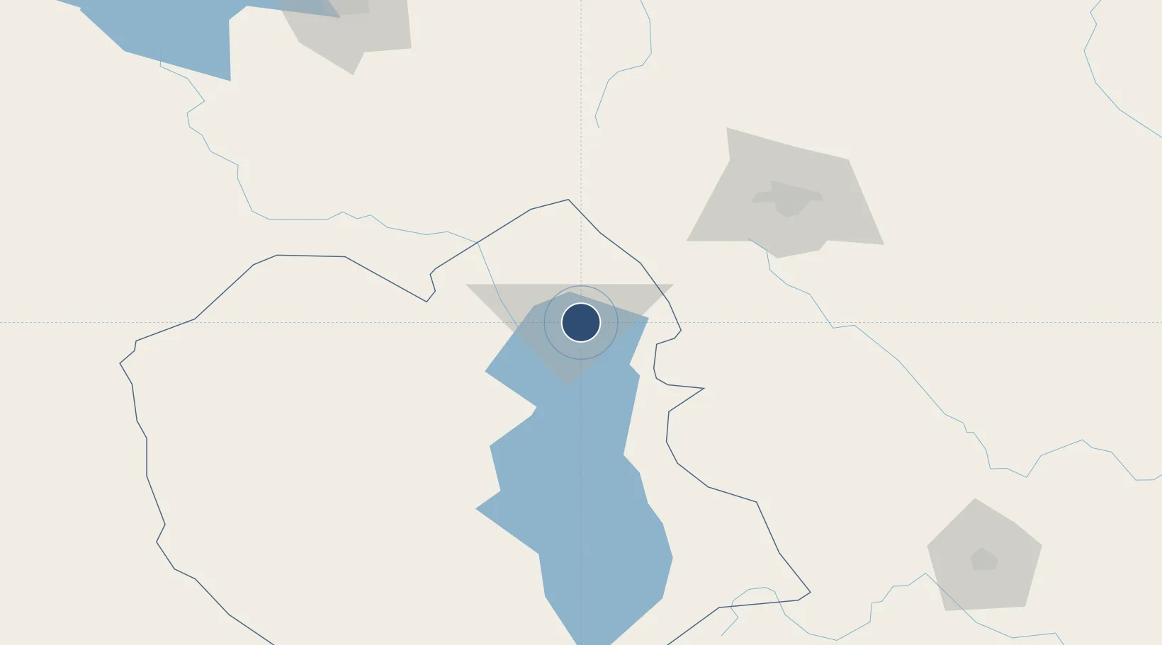
-17.9562°, -67.0758°
8,075 ft
Longest runway
2
Runways
12,152 ft
Elevation

Runway & Layout

Juan Mendoza International Airport runway & taxiway layout
Runway & taxiway layout — OpenStreetMap (ODbL) / OurAirports

Radio Frequencies

TWR
118.5 MHz
ORURO TWR
RDO
662.2 MHz
ORURO RDO
OurAirports

Navaids

ORU NDB Oruro 420 kHz
OurAirports

Runways · 2

RunwayDimensions SurfaceTrue headingLit
18/36 8,075 × 75ft Asphalt 182°
09/27 6,125 × 120ft Graded earth 093°
OurAirports

Airport Specifications

IATA code
ORU
OurAirports
ICAO code
SLOR
OurAirports
Airport class
Large airport
OurAirports
Scheduled service
Yes
OurAirports
Runway surface
Asphalt
OurAirports
Served city
Oruro
OurAirports

Location

Location of SLOR
Natural Earth 10m (public domain) · Oruro · SLOR · -17.96, -67.08GoogleOSMYandex

Nearby Logistics Neighbours

Airports
  1. 1Jorge Wilsterman International Airport112 km
  2. 2El Alto International Airport200 km
  3. 3Juana Azurduy de Padilla Air Force Base222 km
  4. 4Capitan Nicolas Rojas Airport227 km
  5. 5Chimore Airport232 km
Nearest neighbours — logibook spatial index (haversine) over the source coordinates
Cities
  1. 1Oruro4 km
  2. 2Sipe Sipe93 km
  3. 3Bavaro168 km
  4. 4La Paz195 km
  5. 5El Alto199 km
Nearest neighbours — logibook spatial index (haversine) over the source coordinates
Ports
  1. 1Rada De Arica349 km
  2. 2Iquique410 km
  3. 3Caleta Patillos450 km
  4. 4Puerto Ilo456 km
  5. 5Bahia De Matarani545 km
Nearest neighbours — logibook spatial index (haversine) over the source coordinates
DatabookThe Record of Consolidated Knowledge
Bolivia beyond logistics?
Browse databook

All Sources

AirportsOurAirports
Public domain
Portsthe NGA World Port Index
Public domain (US gov)
LocationsUN/LOCODE
UN/LOCODE — free
Trade Zonesthe World Bank SEZ database
CC BY 4.0
Trade ZonesOpen Zone Map
CC BY
InfrastructureOpenStreetMap
ODbL 1.0
← Bolivia airports