Medium airport · Bolivia

Juana Azurduy de Padilla Air Force BaseSLSU
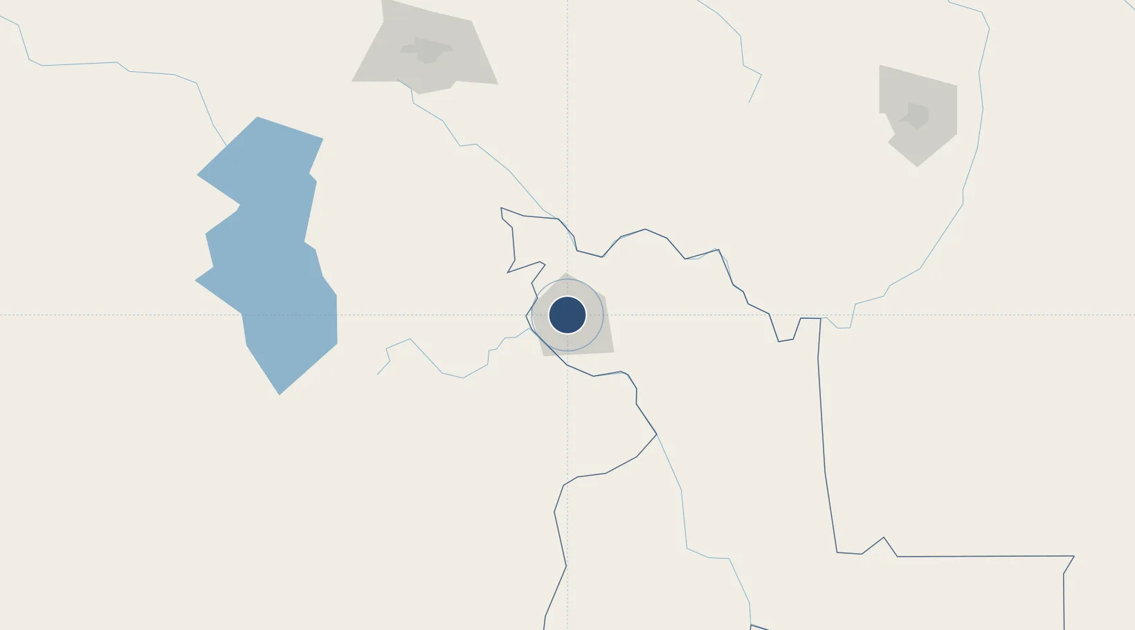
-19.0071°, -65.2887°
9,300 ft
Longest runway
1
Runways
9,540 ft
Elevation

Runway & Layout

Juana Azurduy de Padilla Air Force Base runway & taxiway layout
Runway & taxiway layout — OpenStreetMap (ODbL) / OurAirports

Radio Frequencies

TWR
118.7 MHz
SUCRE TWR
APP
119.1 MHz
SUCRE APP
RDO
662.2 MHz
SUCRE RDO
OurAirports

Navaids

SRE NDB Sucre 230 kHz
SUR VOR-DME Sucre 116.50 MHz
OurAirports

Runways · 1

RunwayDimensions SurfaceTrue headingLit
05/23 9,300 × 98ft Concrete 046°
OurAirports

Airport Specifications

ICAO code
SLSU
OurAirports
Airport class
Medium airport
OurAirports
Scheduled service
No
OurAirports
Runway surface
Concrete
OurAirports
Served city
Sucre
OurAirports

Location

Location of SLSU
Natural Earth 10m (public domain) · Chuquisaca · SLSU · -19.01, -65.29GoogleOSMYandex

Nearby Logistics Neighbours

Airports
  1. 1Alcantarí International Airport30 km
  2. 2Capitan Nicolas Rojas Airport75 km
  3. 3Jorge Wilsterman International Airport200 km
  4. 4Juan Mendoza International Airport222 km
  5. 5Chimore Airport226 km
Nearest neighbours — logibook spatial index (haversine) over the source coordinates
Cities
  1. 1Sucre5 km
  2. 2Aiquile94 km
  3. 3Sipe Sipe208 km
  4. 4Oruro224 km
  5. 5Santa Cruz273 km
Nearest neighbours — logibook spatial index (haversine) over the source coordinates
Ports
  1. 1Iquique528 km
  2. 2Rada De Arica535 km
  3. 3Caleta Patillos548 km
  4. 4Tocopilla618 km
  5. 5Puerto Ilo660 km
Nearest neighbours — logibook spatial index (haversine) over the source coordinates
Trade Zones
  1. 1Oruro Commercial and Industrial Free Zone214 km
  2. 2Zona Franca Oruro225 km
  3. 3Winner Commercial and Industrial Free Zone266 km
  4. 4Santa Cruz Commercial and Industrial Free Zone276 km
  5. 5Zofrapat Commercial and Industrial Free Zone339 km
Nearest neighbours — logibook spatial index (haversine) over the source coordinates
DatabookThe Record of Consolidated Knowledge
Bolivia beyond logistics?
Browse databook

All Sources

AirportsOurAirports
Public domain
Portsthe NGA World Port Index
Public domain (US gov)
LocationsUN/LOCODE
UN/LOCODE — free
Trade Zonesthe World Bank SEZ database
CC BY 4.0
Trade ZonesOpen Zone Map
CC BY
InfrastructureOpenStreetMap
ODbL 1.0
← Bolivia airports