Transport Functions
Rail
Road
Airport
Hub Profile
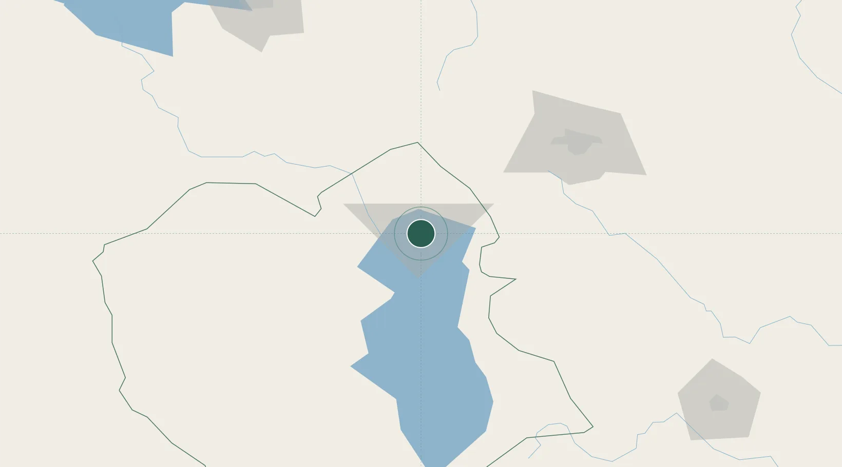
Place type
Regional capital
Region
Oruro
Population
208,684
Time zone
America/La_Paz
Elevation
3,885 m
Logistics facilities
2
Location
Nearby Logistics Neighbours
Ports
- 1Rada De Arica345 km
- 2Iquique406 km
- 3Caleta Patillos447 km
- 4Puerto Ilo452 km
- 5Bahia De Matarani542 km
Airports
DatabookThe Record of Consolidated Knowledge
Bolivia beyond logistics?