Large airport · Bolivia

Jorge Wilsterman International AirportSLCB
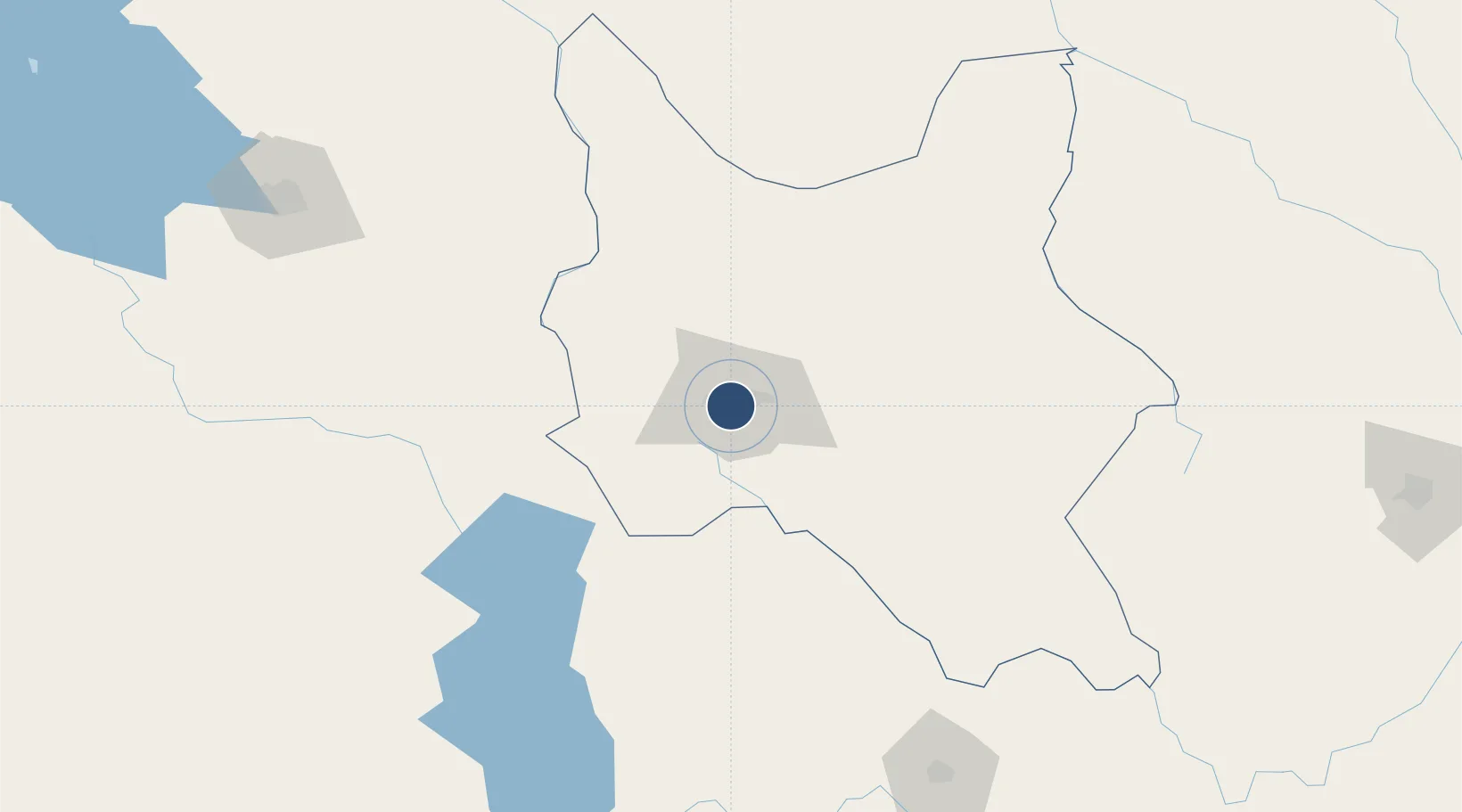
-17.4211°, -66.1771°
12,460 ft
Longest runway
2
Runways
8,360 ft
Elevation

Runway & Layout

Jorge Wilsterman International Airport runway & taxiway layout
Runway & taxiway layout — OpenStreetMap (ODbL) / OurAirports

Radio Frequencies

TWR
118.1 MHz
GND
121.9 MHz
APP
119.3 MHz
COCHABAMBA APP
RDO
129.9 MHz
COCHABAMBA RDO
TMA
123.5 MHz
COCHABAMBA TWR
OurAirports

Navaids

CBA VOR-DME Cochabamba 112.10 MHz
CBB NDB Cochabamba 320 kHz
R NDB Cochabamba 402 kHz
OurAirports

Runways · 2

RunwayDimensions SurfaceTrue headingLit
14/32 12,460 × 148ft Asphalt 132°
05/23 8,692 × 148ft Asphalt 037°
OurAirports

Airport Specifications

IATA code
CBB
OurAirports
ICAO code
SLCB
OurAirports
Airport class
Large airport
OurAirports
Scheduled service
Yes
OurAirports
Runway surface
Asphalt
OurAirports
Served city
Cochabamba
OurAirports

Location

Location of SLCB
Natural Earth 10m (public domain) · Cochabamba · SLCB · -17.42, -66.18GoogleOSMYandex

Nearby Logistics Neighbours

Airports
  1. 1Juan Mendoza International Airport112 km
  2. 2Chimore Airport120 km
  3. 3Juana Azurduy de Padilla Air Force Base200 km
  4. 4Alcantarí International Airport230 km
  5. 5El Alto International Airport237 km
Nearest neighbours — logibook spatial index (haversine) over the source coordinates
Cities
  1. 1Sipe Sipe22 km
  2. 2Oruro116 km
  3. 3Aiquile135 km
  4. 4La Asunta187 km
  5. 5Sucre204 km
Nearest neighbours — logibook spatial index (haversine) over the source coordinates
Ports
  1. 1Rada De Arica455 km
  2. 2Iquique521 km
  3. 3Puerto Ilo551 km
  4. 4Caleta Patillos561 km
  5. 5Bahia De Matarani633 km
Nearest neighbours — logibook spatial index (haversine) over the source coordinates
Trade Zones
  1. 1Oruro Commercial and Industrial Free Zone112 km
  2. 2Zona Franca Oruro117 km
  3. 3Zofrapat Commercial and Industrial Free Zone184 km
  4. 4La Paz Commercial and Industrial Free Zone234 km
  5. 5Santa Cruz Commercial and Industrial Free Zone321 km
Nearest neighbours — logibook spatial index (haversine) over the source coordinates
DatabookThe Record of Consolidated Knowledge
Bolivia beyond logistics?
Browse databook

All Sources

AirportsOurAirports
Public domain
Portsthe NGA World Port Index
Public domain (US gov)
LocationsUN/LOCODE
UN/LOCODE — free
Trade Zonesthe World Bank SEZ database
CC BY 4.0
Trade ZonesOpen Zone Map
CC BY
InfrastructureOpenStreetMap
ODbL 1.0
← Bolivia airports