Small airport · Bolivia
Chimore AirportSLHI
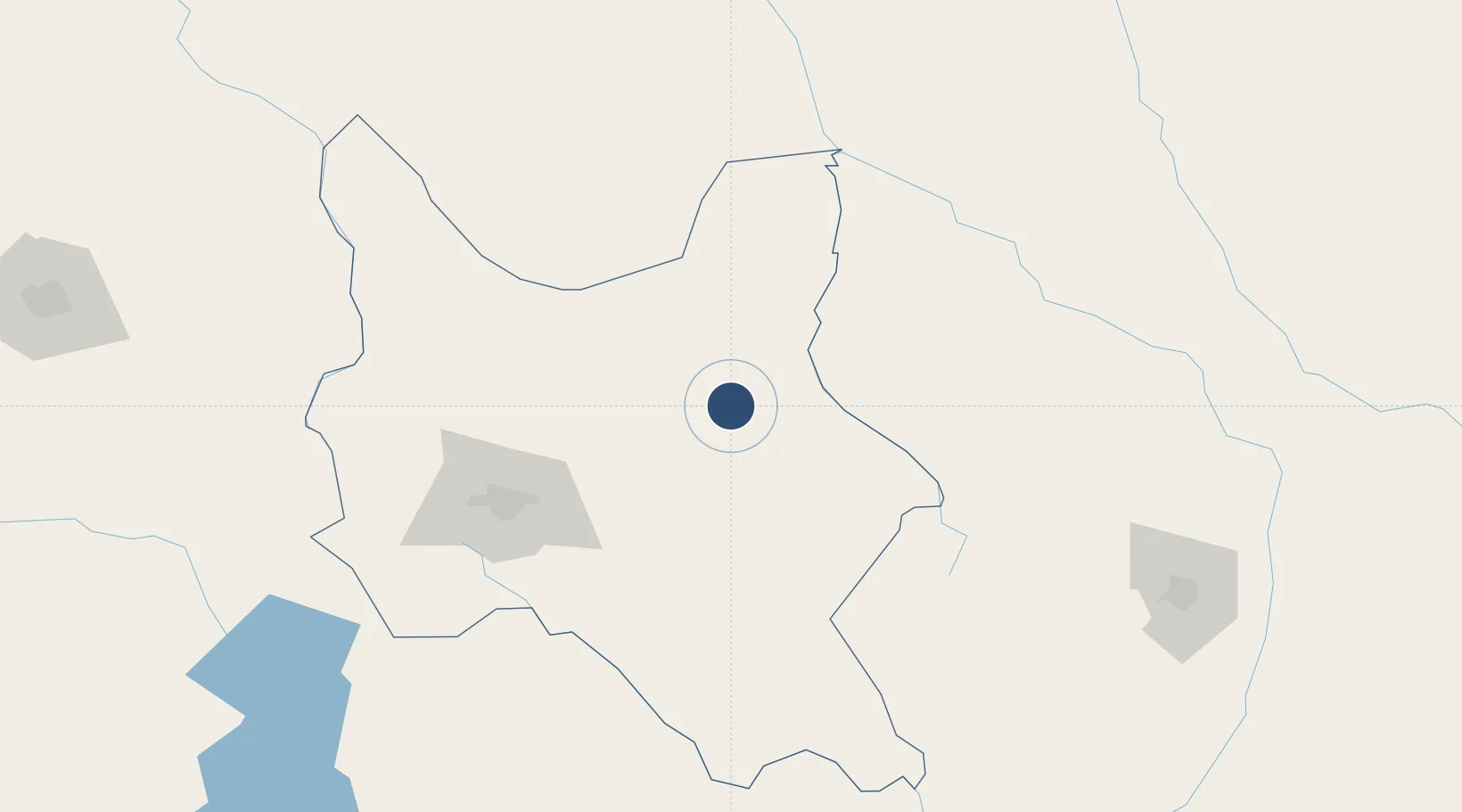
-16.9768°, -65.1456°
4,801 ft
Longest runway
1
Runways
875 ft
Elevation
Runway & Layout

Runways · 1
| Runway | Dimensions | Surface | True heading | Lit |
|---|---|---|---|---|
| 17/35 | 4,801 × 67ft | Asphalt | 162° | — |
Airport Specifications
IATA code
CCA
ICAO code
SLHI
Airport class
Small airport
Scheduled service
Yes
Runway surface
Asphalt
Served city
Chimore
Location
Nearby Logistics Neighbours
Airports
Cities
- 1Aiquile132 km
- 2Sipe Sipe142 km
- 3Santa Cruz225 km
- 4Sucre229 km
- 5Oruro236 km
Ports
- 1Rada De Arica574 km
- 2Iquique639 km
- 3Puerto Ilo664 km
- 4Caleta Patillos676 km
- 5Bahia De Matarani741 km
DatabookThe Record of Consolidated Knowledge
Bolivia beyond logistics?