Transport Functions
Rail
Road
Airport
Hub Profile
Place type
National capital
Region
Chuquisaca Department
Population
224,838
Time zone
America/La_Paz
Elevation
2,798 m
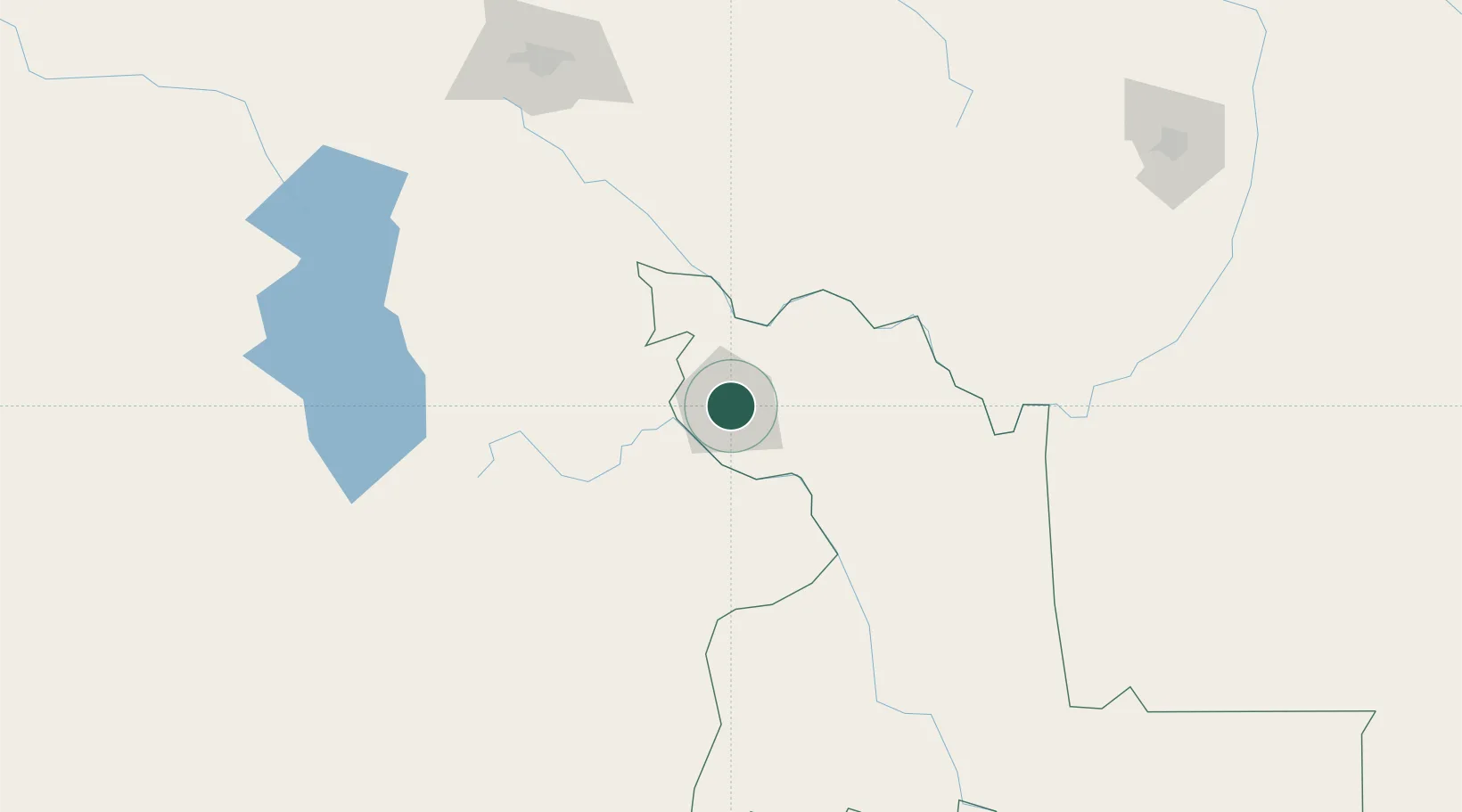
Location
Nearby Logistics Neighbours
Cities
- 1Aiquile97 km
- 2Sipe Sipe213 km
- 3Oruro229 km
- 4Santa Cruz271 km
- 5Bavaro339 km
Ports
- 1Iquique531 km
- 2Rada De Arica539 km
- 3Caleta Patillos551 km
- 4Tocopilla620 km
- 5Puerto Ilo664 km
Airports
DatabookThe Record of Consolidated Knowledge
Bolivia beyond logistics?