Transport Functions
Rail
Road
Airport
Postal
Hub Profile
Place type
Seat of government
Region
La Paz Department
Population
2,004,652
Time zone
America/La_Paz
Elevation
3,782 m
Logistics facilities
3
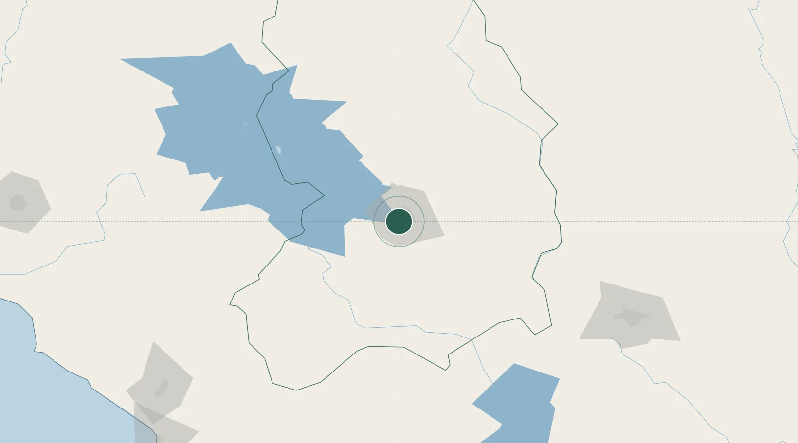
Location
Nearby Logistics Neighbours
Cities
- 1El Alto7 km
- 2Puerto Pérez58 km
- 3Guaqui73 km
- 4Huatajata73 km
- 5Copacabana106 km
Ports
- 1Rada De Arica312 km
- 2Puerto Ilo359 km
- 3Bahia De Matarani422 km
- 4Iquique456 km
- 5Caleta Patillos511 km
Airports
DatabookThe Record of Consolidated Knowledge
Bolivia beyond logistics?