Transport Functions
Rail
Road
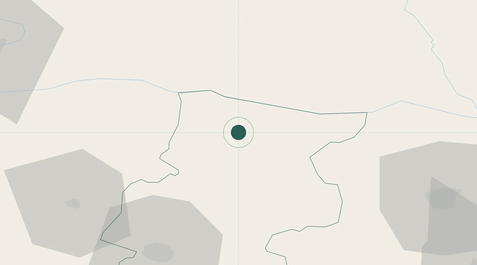
Location
Nearby Logistics Neighbours
Cities
- 1Oryakhovo10 km
- 2Bechet11 km
- 3Kozloduj15 km
- 4Byala Slatina25 km
- 5Knezha28 km
Ports
- 1Kavala309 km
- 2Lagos317 km
- 3Burgas324 km
- 4Varna337 km
- 5Thessaloniki348 km
Airports
- 1Dolna Mitropoliya Air Base59 km
- 2Craiova International Airport71 km
- 3Sofia Airport115 km
- 4Gorna Oryahovitsa Airport162 km
- 5Niš Constantine the Great Airport165 km
Trade Zones
- 1Vidin Free Trade Zone108 km
- 2Dragoman Free Economic Zone113 km
- 3Pirot Free Zone117 km
- 4Free Zone Giurgiu171 km
- 5Maritsa Industrial and Commercial Zone180 km
DatabookThe Record of Consolidated Knowledge
Bulgaria beyond logistics?