Transport Functions
Road
Multimodal
Hub Profile
Region
23
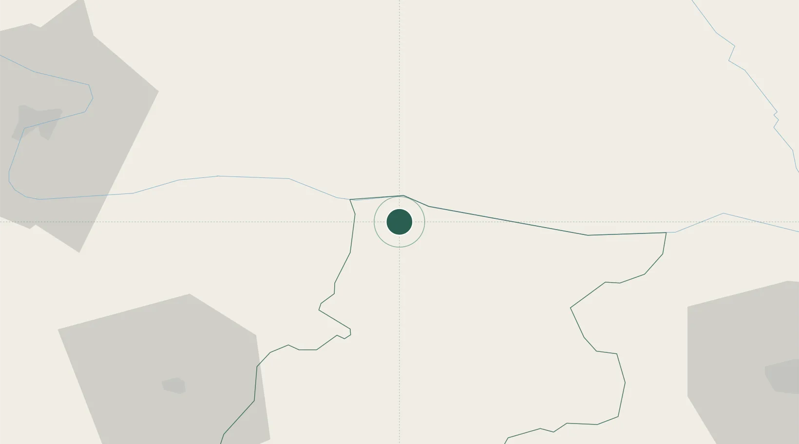
Location
Nearby Logistics Neighbours
Cities
- 1Miziya15 km
- 2Bechet16 km
- 3Oryakhovo18 km
- 4Segarcea35 km
- 5Byala Slatina39 km
Ports
- 1Kavala322 km
- 2Lagos330 km
- 3Burgas337 km
- 4Varna348 km
- 5Thessaloniki356 km
Airports
- 1Craiova International Airport61 km
- 2Dolna Mitropoliya Air Base72 km
- 3Sofia Airport124 km
- 4Niš Constantine the Great Airport159 km
- 5Gorna Oryahovitsa Airport175 km
Trade Zones
- 1Vidin Free Trade Zone100 km
- 2Pirot Free Zone115 km
- 3Dragoman Free Economic Zone116 km
- 4Free Zone Giurgiu179 km
- 5Kruševac Free Zone192 km
DatabookThe Record of Consolidated Knowledge
Bulgaria beyond logistics?