Transport Functions
Rail
Road
Hub Profile
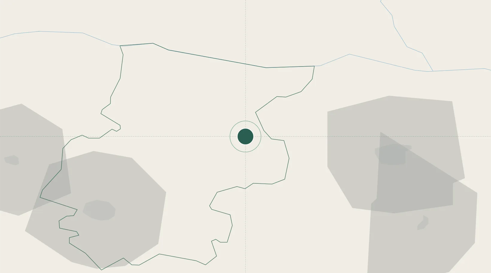
Place type
Populated place
Region
Pleven
Population
6,889
Time zone
Europe/Sofia
Elevation
116 m
Location
Nearby Logistics Neighbours
Cities
- 1Byala Slatina11 km
- 2Vratza21 km
- 3Miziya28 km
- 4Oryakhovo28 km
- 5Trastenik31 km
Ports
- 1Kavala287 km
- 2Lagos291 km
- 3Burgas299 km
- 4Varna316 km
- 5Alexandroupoli332 km
Airports
- 1Dolna Mitropoliya Air Base34 km
- 2Craiova International Airport92 km
- 3Sofia Airport104 km
- 4Gorna Oryahovitsa Airport137 km
- 5Graf Ignatievo Air Base144 km
Trade Zones
- 1Dragoman Free Economic Zone113 km
- 2Vidin Free Trade Zone127 km
- 3Pirot Free Zone127 km
- 4Maritsa Industrial and Commercial Zone154 km
- 5Free Zone Giurgiu157 km
DatabookThe Record of Consolidated Knowledge
Bulgaria beyond logistics?