UN/LOCODE hub · Bulgaria
BGBSL
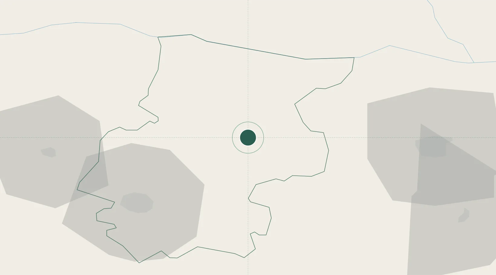
Byala Slatina
43.4667°, 23.9500°
10,282
Population
3
Transport functions
Transport Functions
Port
Rail
Road
Hub Profile
Place type
Populated place
Region
Vratsa
Population
10,282
Time zone
Europe/Sofia
Elevation
125 m
Location
Nearby Logistics Neighbours
Ports
- 1Kavala284 km
- 2Lagos291 km
- 3Burgas308 km
- 4Thessaloniki326 km
- 5Varna326 km
Airports
- 1Dolna Mitropoliya Air Base45 km
- 2Craiova International Airport95 km
- 3Sofia Airport96 km
- 4Graf Ignatievo Air Base145 km
- 5Gorna Oryahovitsa Airport147 km
Trade Zones
- 1Dragoman Free Economic Zone102 km
- 2Pirot Free Zone116 km
- 3Vidin Free Trade Zone117 km
- 4Maritsa Industrial and Commercial Zone155 km
- 5Plovdiv Free Zone157 km
DatabookThe Record of Consolidated Knowledge
Bulgaria beyond logistics?