Export Processing Zone · Bulgaria
Maritsa Industrial and Commercial Zone Active
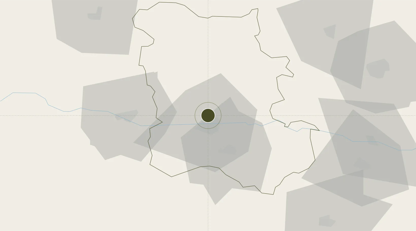
42.2035°, 24.7527°
500 ha
Zone area
137.5 km
Nearest port
10.2 km
Nearest airport
Gateway access
Zone profile
Zone type
Export Processing Zone
Region
Plovdiv
Status
Active
Management
Public-Private Partnership
Operator
Sienit Holding AD
Legal framework
Chapter 19 of Bulgarian Customs Act 2007, Regulation (EU) No 952/2013 of the European Parliament and of the Council of 9 October 2013 laying down the Union Customs Code (recast)
Location
Nearby Logistics Neighbours
Ports
- 1Lagos138 km
- 2Kavala144 km
- 3Alexandroupoli179 km
- 4Stratoni203 km
- 5Burgas227 km
Airports
- 1Graf Ignatievo Air Base10 km
- 2Plovdiv International Airport17 km
- 3Sofia Airport123 km
- 4Gorna Oryahovitsa Airport131 km
- 5Bezmer Air Base134 km
Cities
- 1Radinovo10 km
- 2Stryama12 km
- 3Saedinenie18 km
- 4Stamboliyski18 km
- 5Kuklen19 km
Trade Zones
- 1Trakia Economic Zone6 km
- 2Kuklen Industrial and Commercial Zone19 km
- 3Plovdiv Free Zone28 km
- 4Svilengrad Free Economic Zone129 km
- 5TIDZ Delčevo164 km
DatabookThe Record of Consolidated Knowledge
Bulgaria beyond logistics?