Transport Functions
Port
Road
Hub Profile
Place type
Provincial seat
Region
Dolj
Population
3,824
Time zone
Europe/Bucharest
Elevation
37 m
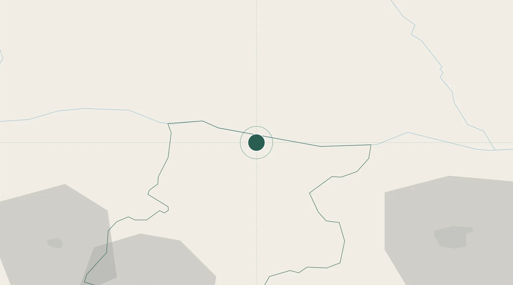
Location
Nearby Logistics Neighbours
Cities
- 1Oryakhovo4 km
- 2Miziya11 km
- 3Kozloduj16 km
- 4Knezha32 km
- 5Byala Slatina33 km
Ports
- 1Kavala317 km
- 2Burgas322 km
- 3Lagos323 km
- 4Varna332 km
- 5Thessaloniki358 km
Airports
- 1Dolna Mitropoliya Air Base58 km
- 2Craiova International Airport61 km
- 3Sofia Airport126 km
- 4Gorna Oryahovitsa Airport159 km
- 5Niš Constantine the Great Airport174 km
Trade Zones
- 1Vidin Free Trade Zone116 km
- 2Dragoman Free Economic Zone124 km
- 3Pirot Free Zone128 km
- 4Free Zone Giurgiu163 km
- 5VGP Park Buharest North180 km
DatabookThe Record of Consolidated Knowledge
Romania beyond logistics?