Seaport · Greece
ThessalonikiGRSKG
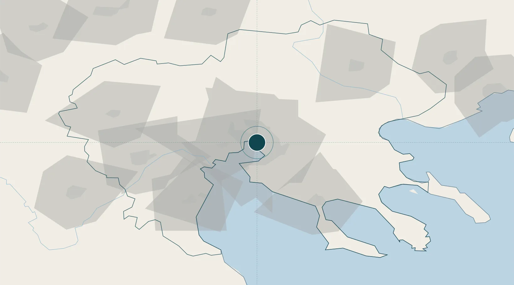
40.6333°, 22.9333°
1
Container terminals
103.4
Port liner connectivity
Channel & Berth Profile
Pilotage, Tugs & Services
Pilotage compulsoryYES
Pilotage availableYES
Pilotage advisableYES
Tug assistanceYES
Salvage tugsNO
Shore powerYES
Diesel bunkersNO
MedicalYES
Garbage disposalYES
Facilities & Capabilities
Container—
Ro-Ro—
Liquid bulk—
Dry bulk—
Oil terminal—
Break bulk—
Dry dockNO
RepairsNO
BunkeringNO
Rail linkYES
Dangerous cargo—
ISPS security—
Harbour Specifications
Harbour size
Medium
Harbour type
Coastal (Natural)
Shelter
Good
Water body
Aegean Sea; Mediterranean Sea; North Atlantic Ocean
Tidal range
1 m
Pilotage
Yes
Liner Connectivity
103.4
PLSCI
Port Liner Shipping Connectivity Index for Thessaloniki, as published by UNCTAD for the latest available quarter. Higher values indicate stronger scheduled liner-shipping integration.
Shown relative to the highest per-port PLSCI in the dataset (1,657.9).
Location
Container Terminals · 1
THESSALONIKI PORT AUTHORITY
THPASA PORT AUTHORITY THESSALONIKI SA
Nearby Logistics Neighbours
Cities
- 1Évosmon4 km
- 2Kalamaria8 km
- 3Oreokastro10 km
- 4Neokhoroúdha12 km
- 5Pendálofos13 km
Airports
Trade Zones
- 1Free Zone of Thessaloniki1 km
- 2TIDZ Gevgelija73 km
- 3TIDZ Strumica86 km
- 4TIDZ Radoviš118 km
- 5TIDZ Berovo119 km
DatabookThe Record of Consolidated Knowledge
Greece beyond logistics?