Transport Functions
Port
Rail
Road
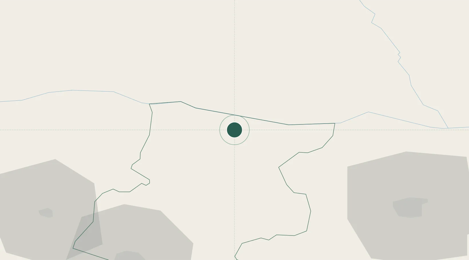
Location
Nearby Logistics Neighbours
Cities
- 1Bechet4 km
- 2Miziya10 km
- 3Kozloduj18 km
- 4Knezha28 km
- 5Byala Slatina30 km
Ports
- 1Kavala314 km
- 2Burgas319 km
- 3Lagos319 km
- 4Varna330 km
- 5Thessaloniki355 km
Airports
- 1Dolna Mitropoliya Air Base54 km
- 2Craiova International Airport65 km
- 3Sofia Airport123 km
- 4Gorna Oryahovitsa Airport156 km
- 5Graf Ignatievo Air Base172 km
Trade Zones
- 1Vidin Free Trade Zone117 km
- 2Dragoman Free Economic Zone122 km
- 3Pirot Free Zone127 km
- 4Free Zone Giurgiu162 km
- 5VGP Park Buharest North180 km
DatabookThe Record of Consolidated Knowledge
Bulgaria beyond logistics?