Export Processing Zone · Bulgaria

Dragoman Free Economic Zone Inactive
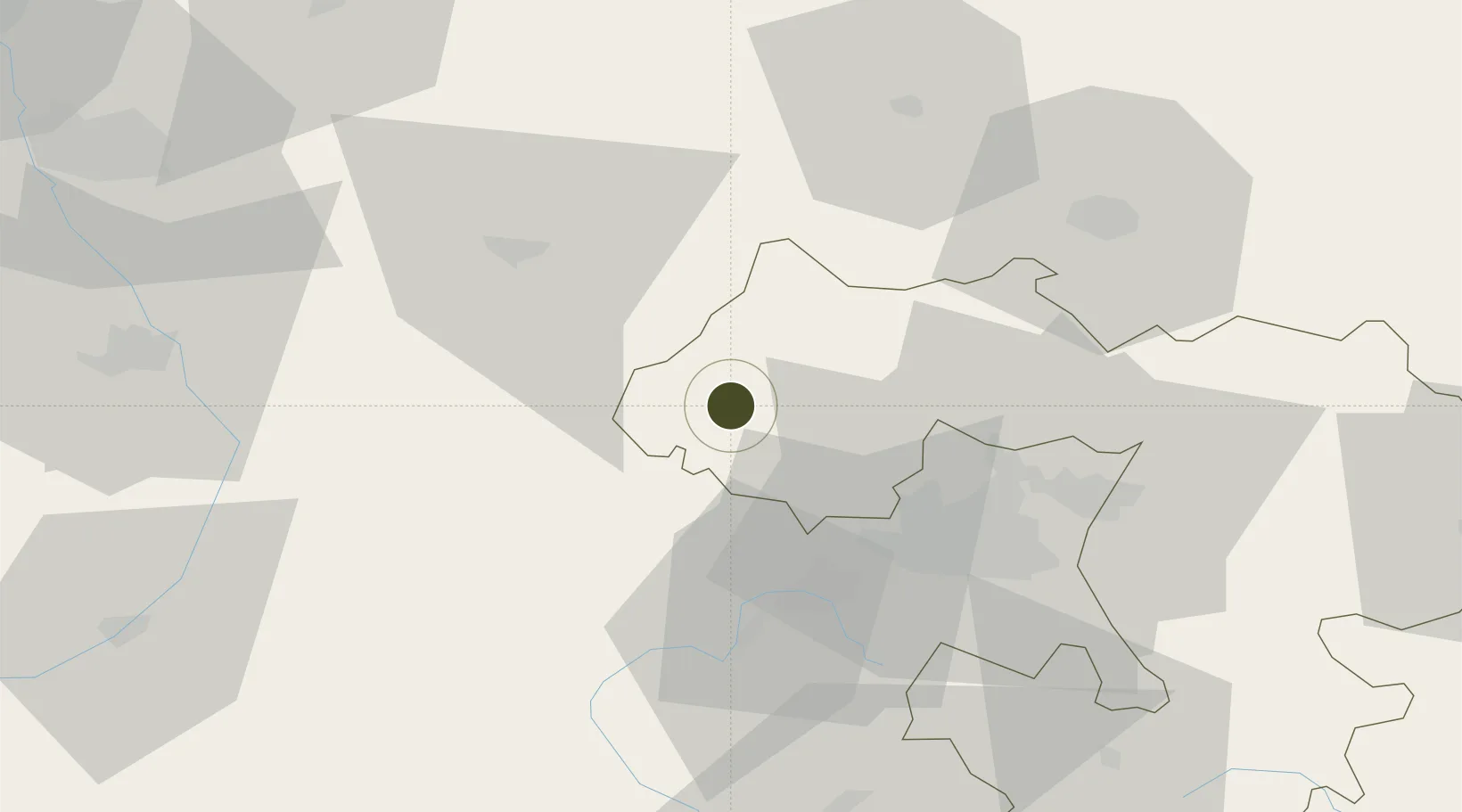
42.9208°, 22.9343°
4 ha
Zone area
252.1 km
Nearest port
46.7 km
Nearest airport

Gateway access

Nearest neighbours — logibook spatial index (haversine) over the source coordinates

Zone profile

Zone type
Export Processing Zone
Open Zone Map
Region
Sofia
Open Zone Map
Status
Inactive
Open Zone Map
Management
Private
Open Zone Map
Operator
Kontaktni Elementi JSC
Open Zone Map
Legal framework
Chapter 19 of Bulgarian Customs Act 2007, Regulation (EU) No 952/2013 of the European Parliament and of the Council of 9 October 2013 laying down the Union Customs Code (recast)
Open Zone Map

Location

Location of ozm-237
Natural Earth 10m (public domain) · Sofia · ozm-237 · 42.92, 22.93GoogleOSMYandex

Nearby Logistics Neighbours

Ports
  1. 1Kavala252 km
  2. 2Thessaloniki254 km
  3. 3Stratoni278 km
  4. 4Lagos281 km
  5. 5Yerakini298 km
Nearest neighbours — logibook spatial index (haversine) over the source coordinates
Airports
  1. 1Sofia Airport47 km
  2. 2Niš Constantine the Great Airport99 km
  3. 3Dolna Mitropoliya Air Base140 km
  4. 4Skopje International Airport152 km
  5. 5Priština Adem Jashari International Airport160 km
Nearest neighbours — logibook spatial index (haversine) over the source coordinates
Cities
  1. 1Dimitrovgrad16 km
  2. 2Bankya23 km
  3. 3Bankya29 km
  4. 4Svoge33 km
  5. 5Novi Isar35 km
Nearest neighbours — logibook spatial index (haversine) over the source coordinates
Trade Zones
  1. 1Pirot Free Zone41 km
  2. 2Vidin Free Trade Zone82 km
  3. 3Vranje Free Zone93 km
  4. 4TIDZ Rankovce102 km
  5. 5TIDZ Delčevo106 km
Nearest neighbours — logibook spatial index (haversine) over the source coordinates
DatabookThe Record of Consolidated Knowledge
Bulgaria beyond logistics?
Browse databook

All Sources

Trade ZonesOpen Zone Map
CC BY
Portsthe NGA World Port Index
Public domain (US gov)
AirportsOurAirports
Public domain
LocationsUN/LOCODE
UN/LOCODE — free
← Bulgaria trade zones