Free Trade Zone · Serbia

Pirot Free Zone Active
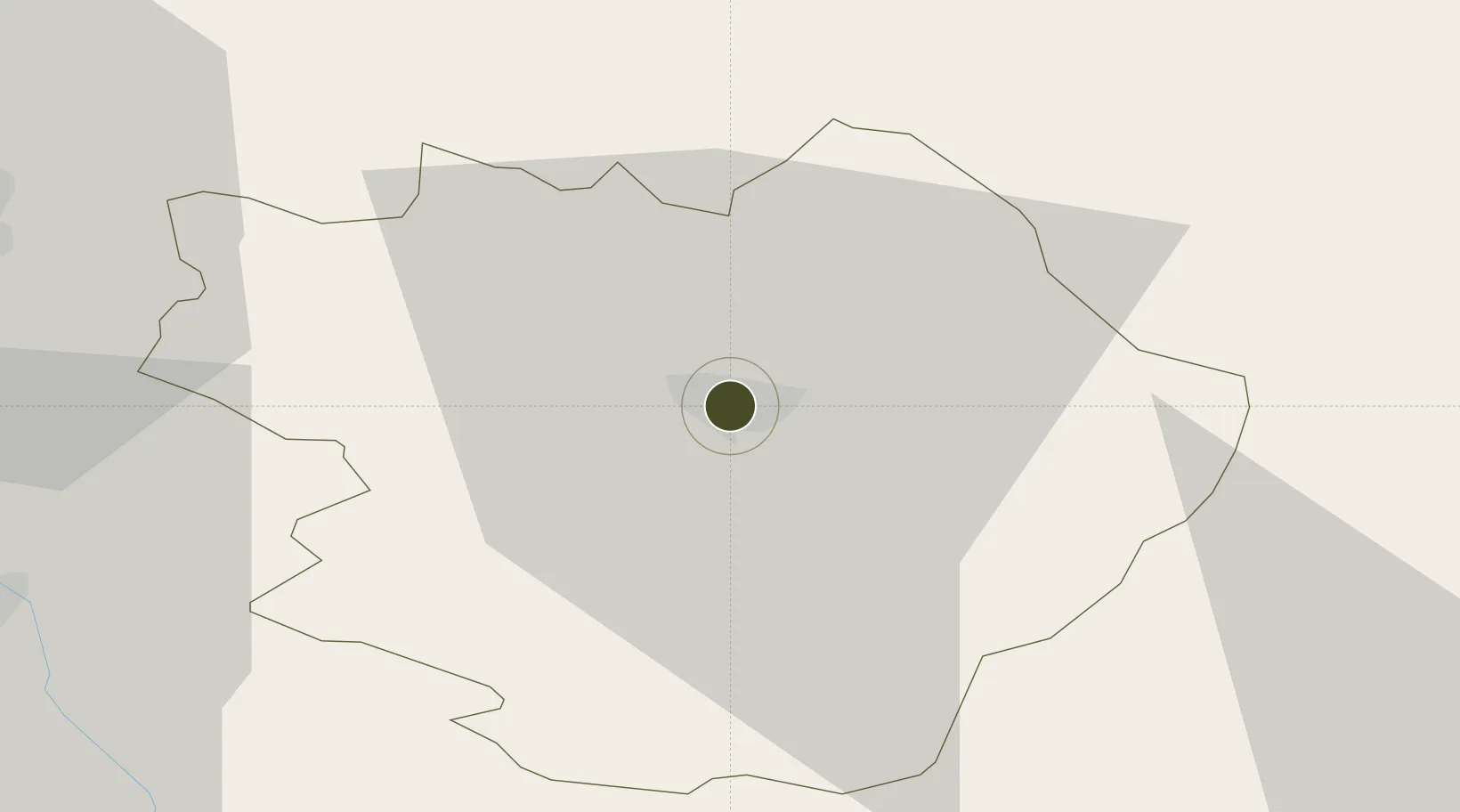
43.1760°, 22.5782°
150 ha
Zone area
284.2 km
Nearest port
61.1 km
Nearest airport

Gateway access

Nearest neighbours — logibook spatial index (haversine) over the source coordinates

Zone profile

Zone type
Free Trade Zone
Open Zone Map
Region
Pirotski
Open Zone Map
Status
Active
Open Zone Map
Management
Public-Private Partnership
Open Zone Map
Operator
Slobodna Zona Pirot A.D.
Open Zone Map
Legal framework
Free Zone Law 62/2006
Open Zone Map

Location

Location of ozm-4122
Natural Earth 10m (public domain) · Pirotski · ozm-4122 · 43.18, 22.58GoogleOSMYandex

Nearby Logistics Neighbours

Ports
  1. 1Thessaloniki284 km
  2. 2Shengjin287 km
  3. 3Kavala291 km
  4. 4Bar311 km
  5. 5Stratoni313 km
Nearest neighbours — logibook spatial index (haversine) over the source coordinates
Airports
  1. 1Niš Constantine the Great Airport61 km
  2. 2Sofia Airport87 km
  3. 3Priština Adem Jashari International Airport143 km
  4. 4Skopje International Airport156 km
  5. 5Dolna Mitropoliya Air Base159 km
Nearest neighbours — logibook spatial index (haversine) over the source coordinates
Cities
  1. 1Pirot3 km
  2. 2Babusnica20 km
  3. 3Dimitrovgrad25 km
  4. 4Bankya37 km
  5. 5Mezdra44 km
Nearest neighbours — logibook spatial index (haversine) over the source coordinates
Trade Zones
  1. 1Dragoman Free Economic Zone41 km
  2. 2Vidin Free Trade Zone47 km
  3. 3Vranje Free Zone89 km
  4. 4Kruševac Free Zone108 km
  5. 5TIDZ Rankovce115 km
Nearest neighbours — logibook spatial index (haversine) over the source coordinates
DatabookThe Record of Consolidated Knowledge
Serbia beyond logistics?
Browse databook

All Sources

Trade ZonesOpen Zone Map
CC BY
Portsthe NGA World Port Index
Public domain (US gov)
AirportsOurAirports
Public domain
LocationsUN/LOCODE
UN/LOCODE — free
← Serbia trade zones