Transport Functions
Rail
Road
Hub Profile
Place type
District seat
Region
Stara Zagora
Time zone
Europe/Sofia
Elevation
354 m
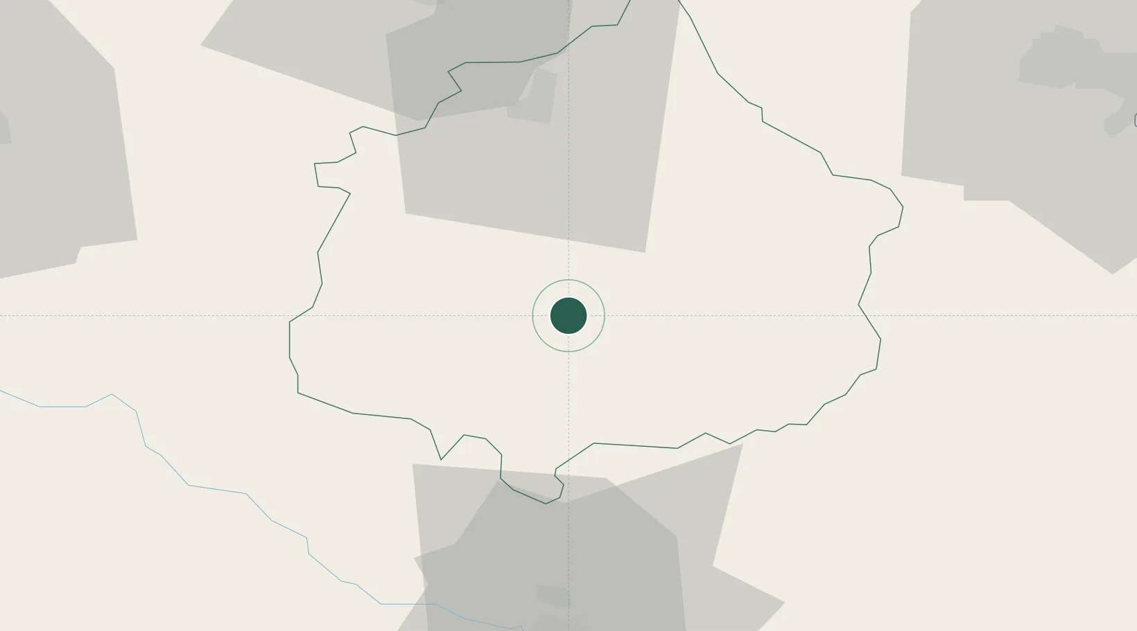
Location
Nearby Logistics Neighbours
Ports
- 1Burgas83 km
- 2Tekirdag154 km
- 3Alexandroupoli159 km
- 4Varna161 km
- 5Lagos176 km
Airports
- 1Bezmer Air Base37 km
- 2Burgas Airport90 km
- 3Gorna Oryahovitsa Airport130 km
- 4Plovdiv International Airport142 km
- 5Graf Ignatievo Air Base153 km
Trade Zones
DatabookThe Record of Consolidated Knowledge
Bulgaria beyond logistics?