Diversified Zone · Bulgaria

Trakia Economic Zone Active
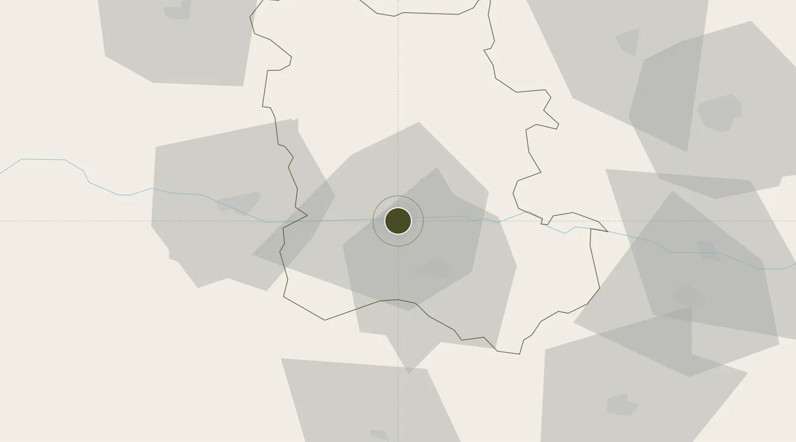
42.1541°, 24.7618°
1,070 ha
Zone area
132.0 km
Nearest port
12.1 km
Nearest airport

Gateway access

Nearest neighbours — logibook spatial index (haversine) over the source coordinates

Zone profile

Zone type
Diversified Zone
Open Zone Map
Region
Plovdiv
Open Zone Map
Status
Active
Open Zone Map
Management
Public-Private Partnership
Open Zone Map
Operator
Sienit Holding AD
Open Zone Map
Legal framework
Chapter 19 of Bulgarian Customs Act 2007, Regulation (EU) No 952/2013 of the European Parliament and of the Council of 9 October 2013 laying down the Union Customs Code (recast)
Open Zone Map

Location

Location of ozm-235
Natural Earth 10m (public domain) · Plovdiv · ozm-235 · 42.15, 24.76GoogleOSMYandex

Nearby Logistics Neighbours

Ports
  1. 1Lagos132 km
  2. 2Kavala139 km
  3. 3Alexandroupoli174 km
  4. 4Stratoni198 km
  5. 5Burgas227 km
Nearest neighbours — logibook spatial index (haversine) over the source coordinates
Airports
  1. 1Plovdiv International Airport12 km
  2. 2Graf Ignatievo Air Base16 km
  3. 3Sofia Airport126 km
  4. 4Bezmer Air Base135 km
  5. 5Gorna Oryahovitsa Airport136 km
Nearest neighbours — logibook spatial index (haversine) over the source coordinates
Cities
  1. 1Radinovo11 km
  2. 2Kuklen14 km
  3. 3Stryama15 km
  4. 4Stamboliyski18 km
  5. 5Saedinenie22 km
Nearest neighbours — logibook spatial index (haversine) over the source coordinates
Trade Zones
  1. 1Maritsa Industrial and Commercial Zone6 km
  2. 2Kuklen Industrial and Commercial Zone13 km
  3. 3Plovdiv Free Zone27 km
  4. 4Svilengrad Free Economic Zone126 km
  5. 5TIDZ Delčevo165 km
Nearest neighbours — logibook spatial index (haversine) over the source coordinates
DatabookThe Record of Consolidated Knowledge
Bulgaria beyond logistics?
Browse databook

All Sources

Trade ZonesOpen Zone Map
CC BY
Portsthe NGA World Port Index
Public domain (US gov)
AirportsOurAirports
Public domain
LocationsUN/LOCODE
UN/LOCODE — free
← Bulgaria trade zones