Medium airport · Bulgaria

Graf Ignatievo Air BaseLBPG
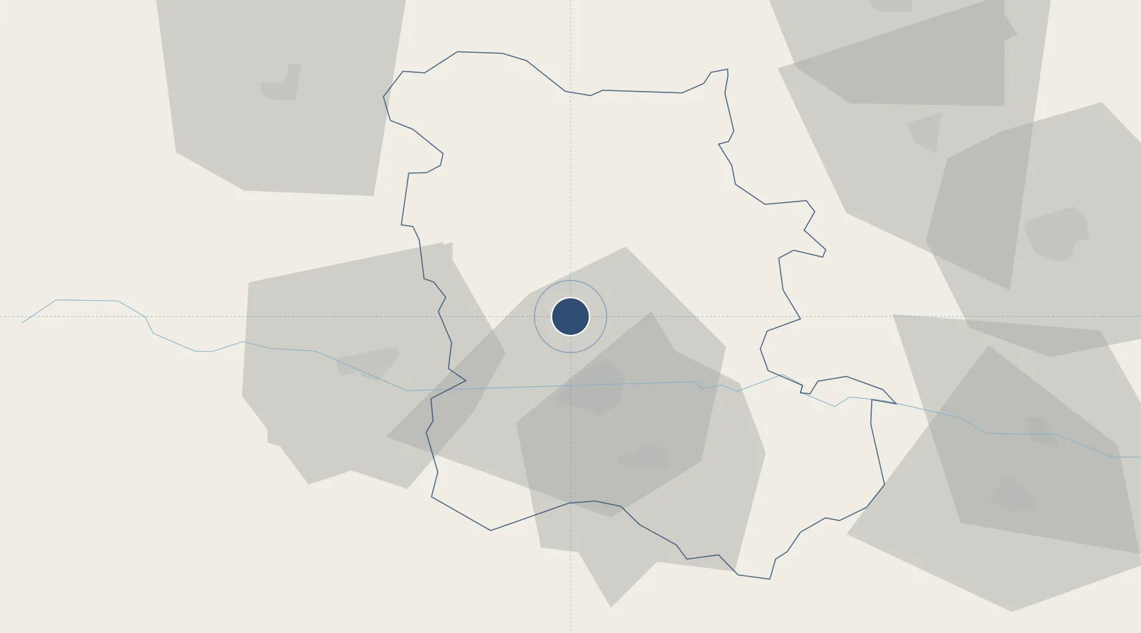
42.2904°, 24.7140°
9,815 ft
Longest runway
1
Runways
190 ft
Elevation

Runway & Layout

Graf Ignatievo Air Base runway & taxiway layout
Runway & taxiway layout — OpenStreetMap (ODbL) / OurAirports

Runways · 1

RunwayDimensions SurfaceTrue headingLit
08/26 9,815 × 270ft Asphalt 080°
OurAirports

Airport Specifications

ICAO code
LBPG
OurAirports
Airport class
Medium airport
OurAirports
Scheduled service
No
OurAirports
Runway surface
Asphalt
OurAirports
Served city
Graf Ignatievo
OurAirports

Location

Location of LBPG
Natural Earth 10m (public domain) · Plovdiv · LBPG · 42.29, 24.71GoogleOSMYandex

Nearby Logistics Neighbours

Airports
  1. 1Plovdiv International Airport27 km
  2. 2Sofia Airport116 km
  3. 3Gorna Oryahovitsa Airport126 km
  4. 4Dolna Mitropoliya Air Base130 km
  5. 5Bezmer Air Base136 km
Nearest neighbours — logibook spatial index (haversine) over the source coordinates
Cities
  1. 1Radinovo14 km
  2. 2Saedinenie14 km
  3. 3Stryama15 km
  4. 4Rakovski21 km
  5. 5Stamboliyski22 km
Nearest neighbours — logibook spatial index (haversine) over the source coordinates
Ports
  1. 1Lagos148 km
  2. 2Kavala153 km
  3. 3Alexandroupoli189 km
  4. 4Stratoni211 km
  5. 5Burgas228 km
Nearest neighbours — logibook spatial index (haversine) over the source coordinates
Trade Zones
  1. 1Maritsa Industrial and Commercial Zone10 km
  2. 2Trakia Economic Zone16 km
  3. 3Kuklen Industrial and Commercial Zone29 km
  4. 4Plovdiv Free Zone30 km
  5. 5Svilengrad Free Economic Zone135 km
Nearest neighbours — logibook spatial index (haversine) over the source coordinates
DatabookThe Record of Consolidated Knowledge
Bulgaria beyond logistics?
Browse databook

All Sources

AirportsOurAirports
Public domain
Portsthe NGA World Port Index
Public domain (US gov)
LocationsUN/LOCODE
UN/LOCODE — free
Trade Zonesthe World Bank SEZ database
CC BY 4.0
Trade ZonesOpen Zone Map
CC BY
InfrastructureOpenStreetMap
ODbL 1.0
← Bulgaria airports