Transport Functions
Multimodal
Hub Profile
Place type
Populated place
Region
Stara Zagora
Time zone
Europe/Sofia
Elevation
150 m
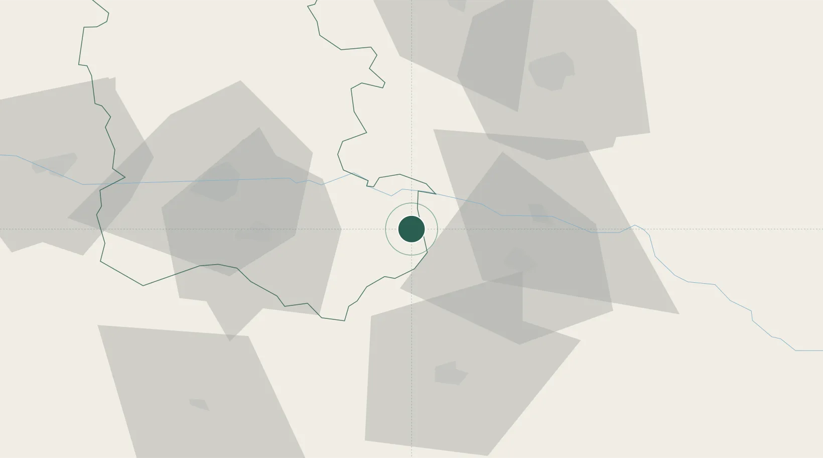
Location
Nearby Logistics Neighbours
Ports
- 1Lagos115 km
- 2Kavala142 km
- 3Alexandroupoli143 km
- 4Burgas189 km
- 5Stratoni207 km
Airports
Trade Zones
DatabookThe Record of Consolidated Knowledge
Bulgaria beyond logistics?