Transport Functions
Rail
Road
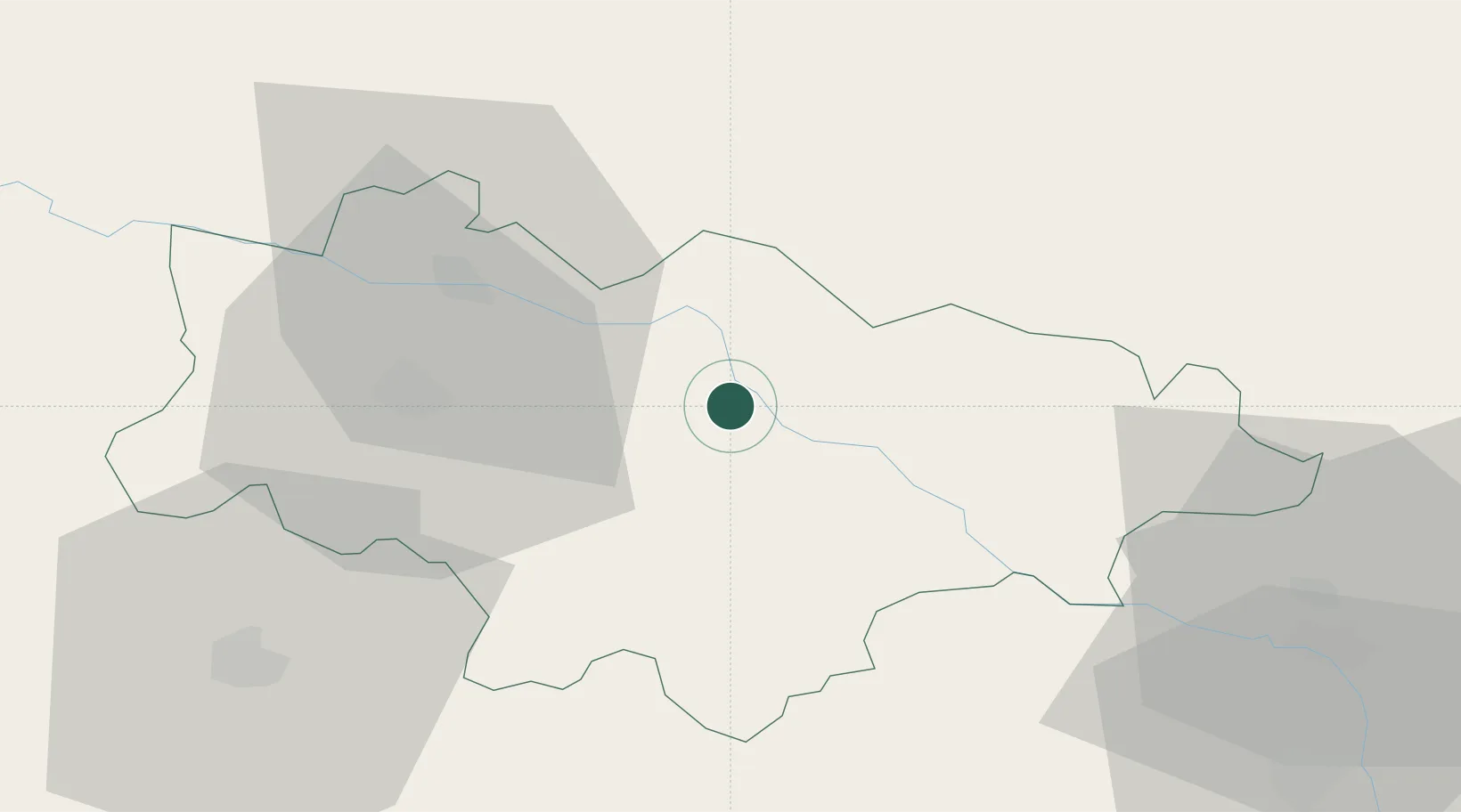
Location
Nearby Logistics Neighbours
Ports
- 1Lagos122 km
- 2Alexandroupoli122 km
- 3Burgas144 km
- 4Kavala167 km
- 5Tekirdag171 km
Airports
- 1Bezmer Air Base69 km
- 2Plovdiv International Airport88 km
- 3Graf Ignatievo Air Base106 km
- 4Alexandroupoli Democritus Airport120 km
- 5Gorna Oryahovitsa Airport136 km
Trade Zones
DatabookThe Record of Consolidated Knowledge
Bulgaria beyond logistics?