Transport Functions
Multimodal
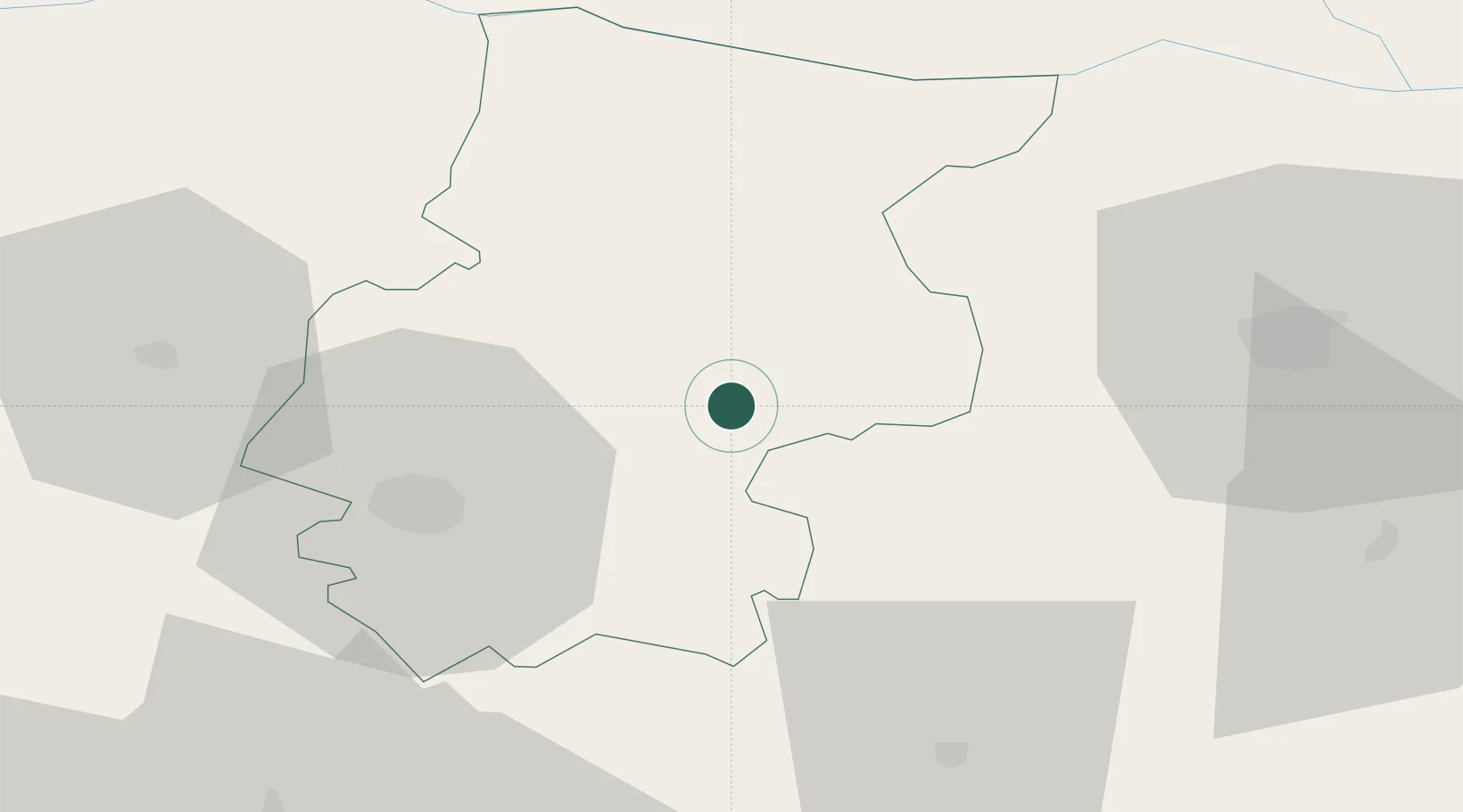
Hub Profile
Region
06
Location
Nearby Logistics Neighbours
Cities
- 1Byala Slatina13 km
- 2Knezha21 km
- 3Miziya38 km
- 4Oryakhovo43 km
- 5Bechet46 km
Ports
- 1Kavala272 km
- 2Lagos279 km
- 3Burgas305 km
- 4Thessaloniki313 km
- 5Stratoni315 km
Airports
- 1Dolna Mitropoliya Air Base47 km
- 2Sofia Airport84 km
- 3Craiova International Airport108 km
- 4Graf Ignatievo Air Base134 km
- 5Gorna Oryahovitsa Airport146 km
Trade Zones
- 1Dragoman Free Economic Zone94 km
- 2Pirot Free Zone111 km
- 3Vidin Free Trade Zone118 km
- 4Maritsa Industrial and Commercial Zone144 km
- 5Plovdiv Free Zone145 km
DatabookThe Record of Consolidated Knowledge
Bulgaria beyond logistics?