Transport Functions
Port
Road
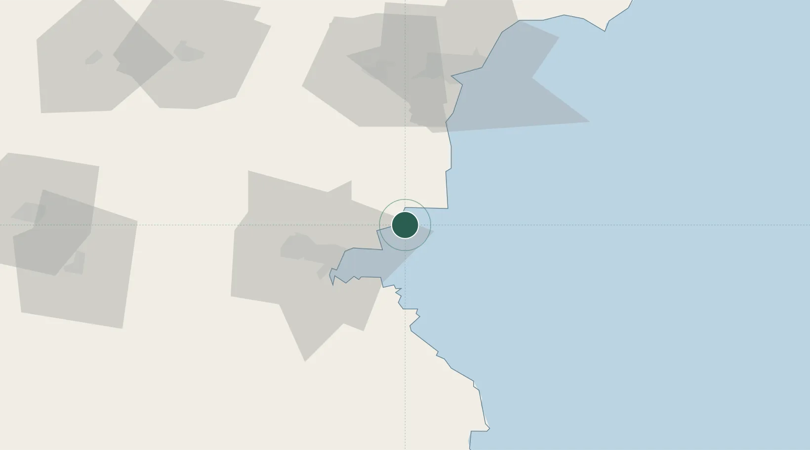
Location
Nearby Logistics Neighbours
Airports
- 1Burgas Airport20 km
- 2Varna Airport65 km
- 3Balchik Airfield93 km
- 4Bezmer Air Base115 km
- 5Tekirdağ Çorlu Airport169 km
Trade Zones
DatabookThe Record of Consolidated Knowledge
Bulgaria beyond logistics?