Transport Functions
Port
Road
Hub Profile
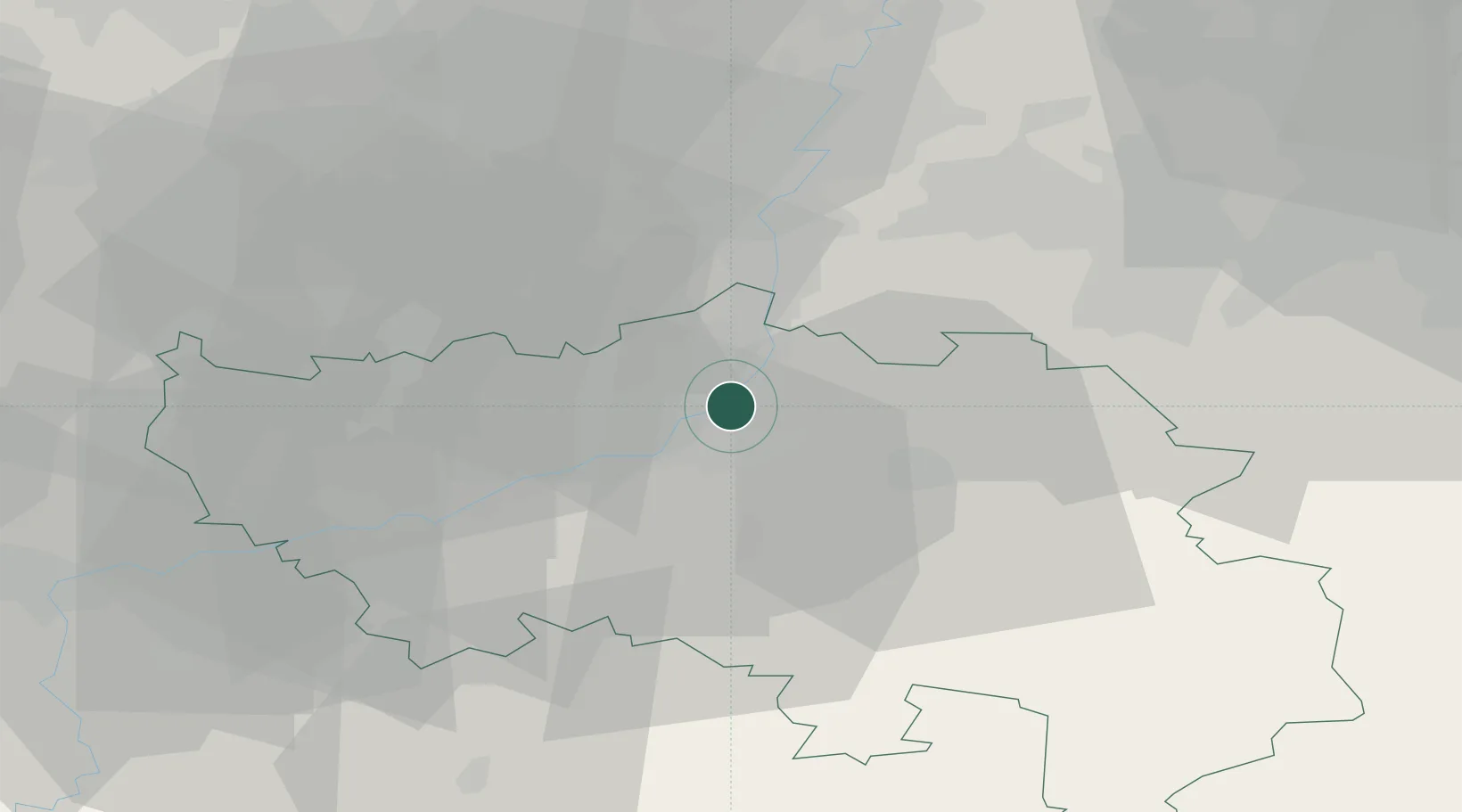
Place type
Populated place
Region
Wallonia
Population
6,076
Time zone
Europe/Brussels
Elevation
59 m
Location
Nearby Logistics Neighbours
Cities
- 1Herstal1 km
- 2Monsin1 km
- 3Cheratte2 km
- 4Chertal2 km
- 5Jupille-sur-Meuse2 km
Airports
- 1Liège Airport15 km
- 2Maastricht Aachen Airport28 km
- 3Geilenkirchen Air Base43 km
- 4Kleine Brogel Air Base57 km
- 5Beauvechain Air Base63 km
Trade Zones
- 1Rheinische Revier SWZ58 km
- 2Freeport of Duisburg109 km
- 3Luxembourg Free Port121 km
- 4ZFU Ronde Couture122 km
- 5ZFU Maubeuge, Louvroil130 km
DatabookThe Record of Consolidated Knowledge
Belgium beyond logistics?