Transport Functions
Port
Road
Hub Profile
Region
WLG
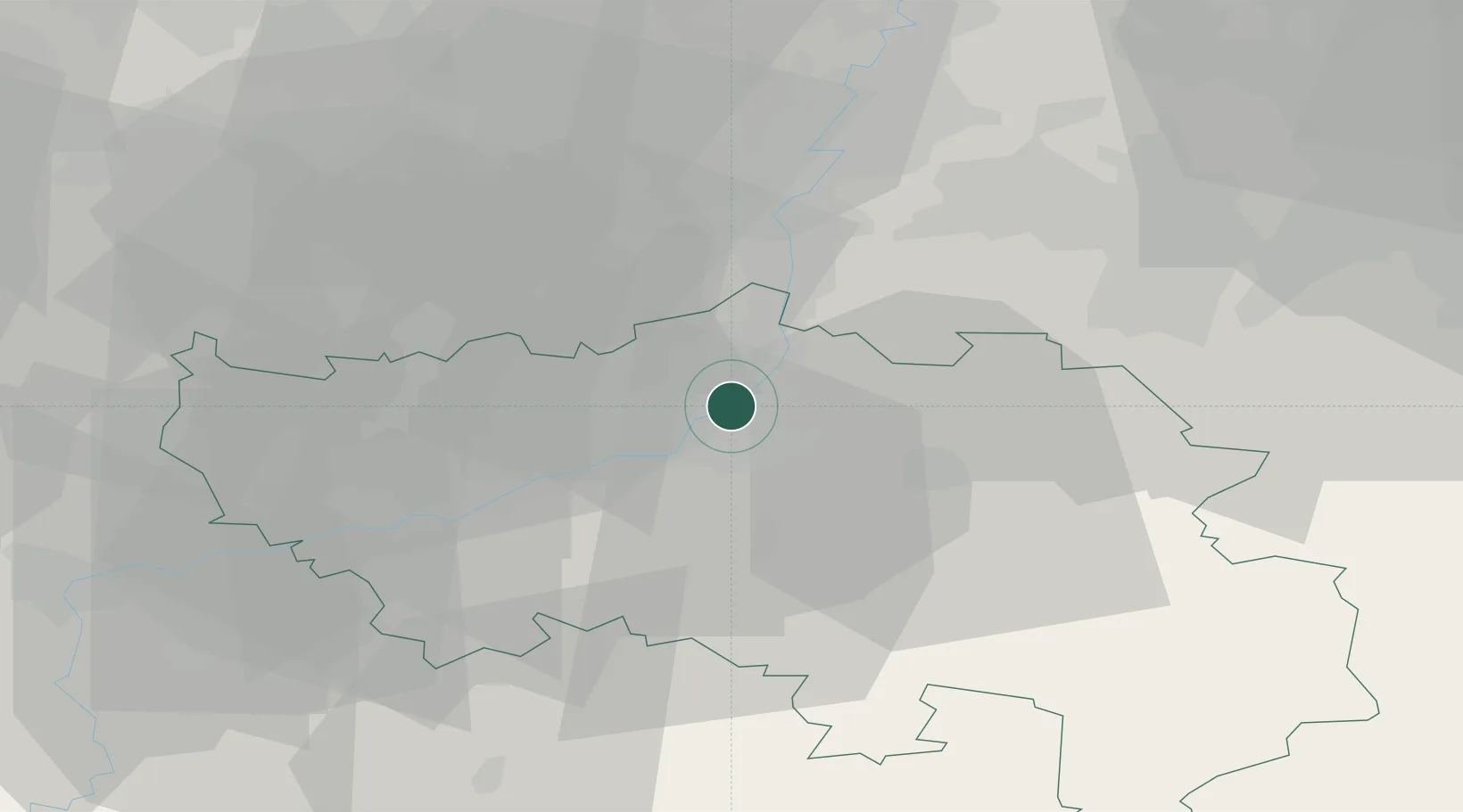
Location
Nearby Logistics Neighbours
Cities
- 1Herstal0 km
- 2Wandre1 km
- 3Jupille-sur-Meuse2 km
- 4Cheratte3 km
- 5Chertal3 km
Airports
- 1Liège Airport14 km
- 2Maastricht Aachen Airport29 km
- 3Geilenkirchen Air Base44 km
- 4Kleine Brogel Air Base57 km
- 5Beauvechain Air Base62 km
Trade Zones
- 1Rheinische Revier SWZ59 km
- 2Freeport of Duisburg109 km
- 3ZFU Ronde Couture121 km
- 4Luxembourg Free Port122 km
- 5ZFU Maubeuge, Louvroil129 km
DatabookThe Record of Consolidated Knowledge
Belgium beyond logistics?