Transport Functions
Port
Road
Hub Profile
Place type
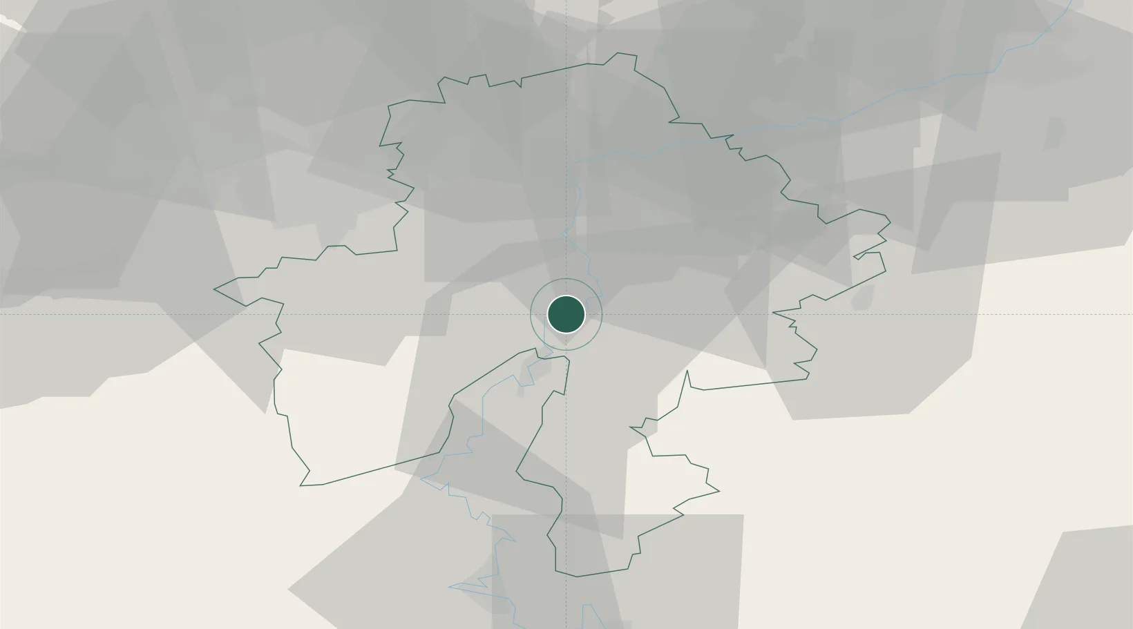
Populated place
Region
Wallonia
Population
457
Time zone
Europe/Brussels
Elevation
99 m
Location
Nearby Logistics Neighbours
Cities
- 1Hastière-par-delà2 km
- 2Neffe4 km
- 3Hermeton-sur-Meuse4 km
- 4Anseremme4 km
- 5Bouvignes-sur-Meuse6 km
Airports
Trade Zones
DatabookThe Record of Consolidated Knowledge
Belgium beyond logistics?