UN/LOCODE hub · Belgium
BEBVM
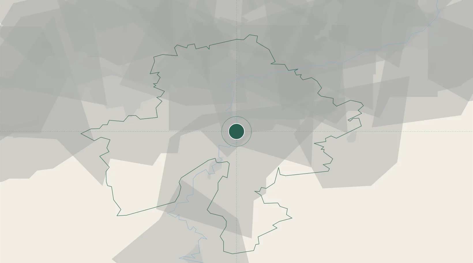
Bouvignes-sur-Meuse
50.2667°, 4.9000°
654
Population
2
Transport functions
Transport Functions
Port
Road
Hub Profile
Place type
Populated place
Region
Wallonia
Population
654
Time zone
Europe/Brussels
Elevation
92 m
Location
Nearby Logistics Neighbours
Airports
Trade Zones
DatabookThe Record of Consolidated Knowledge
Belgium beyond logistics?