Transport Functions
Port
Road
Hub Profile
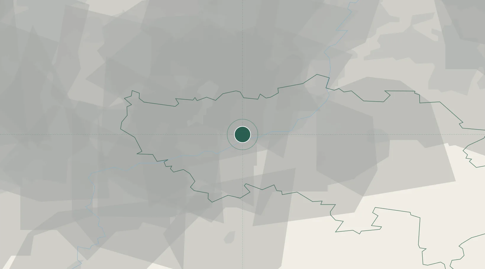
Place type
Populated place
Region
Wallonia
Population
1,308
Time zone
Europe/Brussels
Elevation
89 m
Location
Nearby Logistics Neighbours
Cities
- 1Engis2 km
- 2Chokier2 km
- 3Ivoz-Ramet3 km
- 4Flémalle5 km
- 5Seraing6 km
Airports
- 1Liège Airport5 km
- 2Maastricht Aachen Airport43 km
- 3Beauvechain Air Base48 km
- 4Geilenkirchen Air Base60 km
- 5Kleine Brogel Air Base63 km
Trade Zones
- 1Rheinische Revier SWZ77 km
- 2ZFU Ronde Couture107 km
- 3ZFU Maubeuge, Louvroil111 km
- 4Luxembourg Free Port122 km
- 5Freeport of Duisburg126 km
DatabookThe Record of Consolidated Knowledge
Belgium beyond logistics?