Transport Functions
Port
Road
Hub Profile
Place type
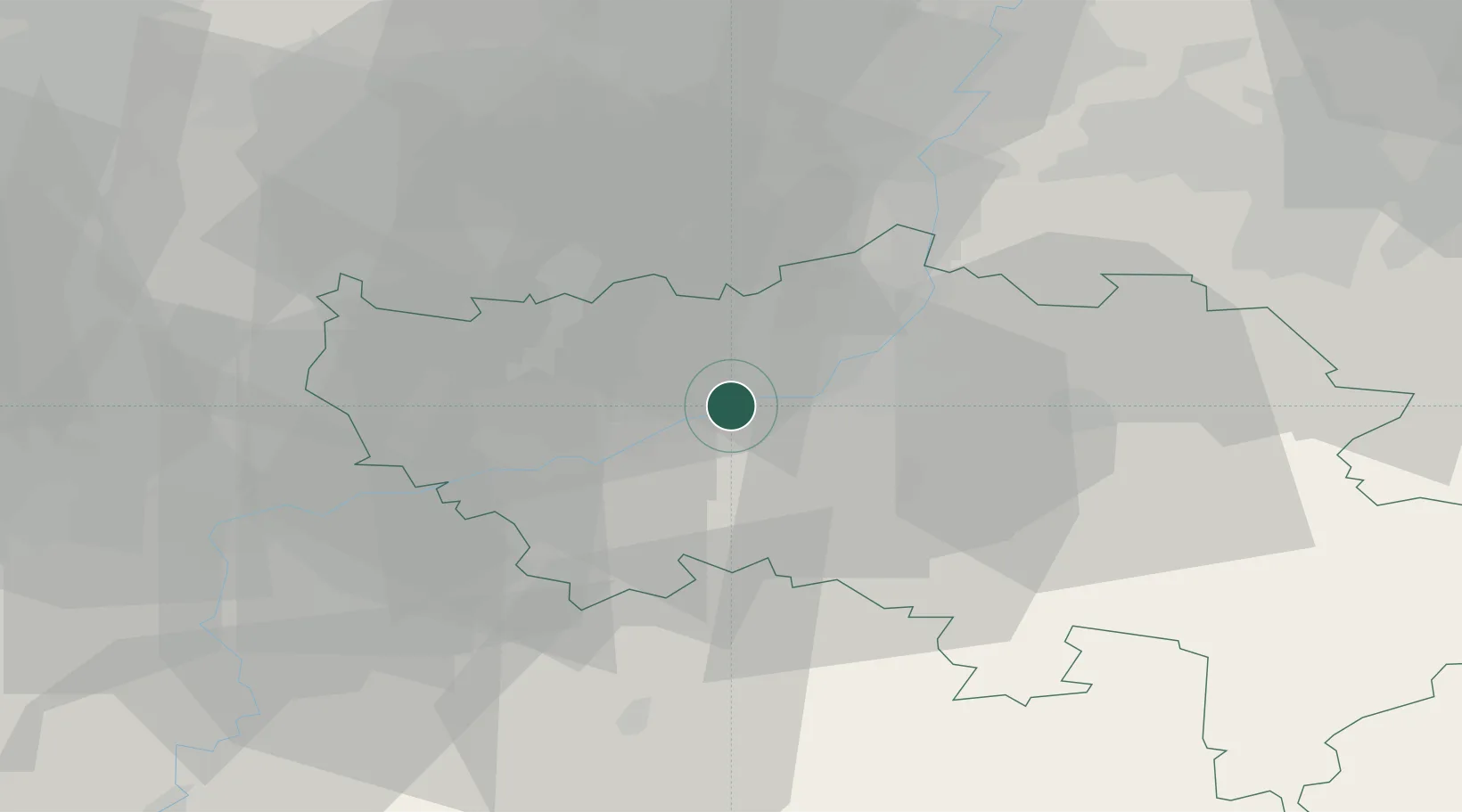
Populated place
Region
Wallonia
Time zone
Europe/Brussels
Elevation
187 m
Location
Nearby Logistics Neighbours
Cities
- 1Seraing1 km
- 2Val Saint-Lambert2 km
- 3Chokier2 km
- 4Ivoz-Ramet3 km
- 5Engis4 km
Airports
- 1Liège Airport5 km
- 2Maastricht Aachen Airport41 km
- 3Beauvechain Air Base52 km
- 4Geilenkirchen Air Base57 km
- 5Kleine Brogel Air Base63 km
Trade Zones
- 1Rheinische Revier SWZ73 km
- 2ZFU Ronde Couture109 km
- 3ZFU Maubeuge, Louvroil115 km
- 4Luxembourg Free Port120 km
- 5Freeport of Duisburg123 km
DatabookThe Record of Consolidated Knowledge
Belgium beyond logistics?