Transport Functions
Multimodal
Hub Profile
Place type
Populated place
Region
Flanders
Time zone
Europe/Brussels
Elevation
81 m
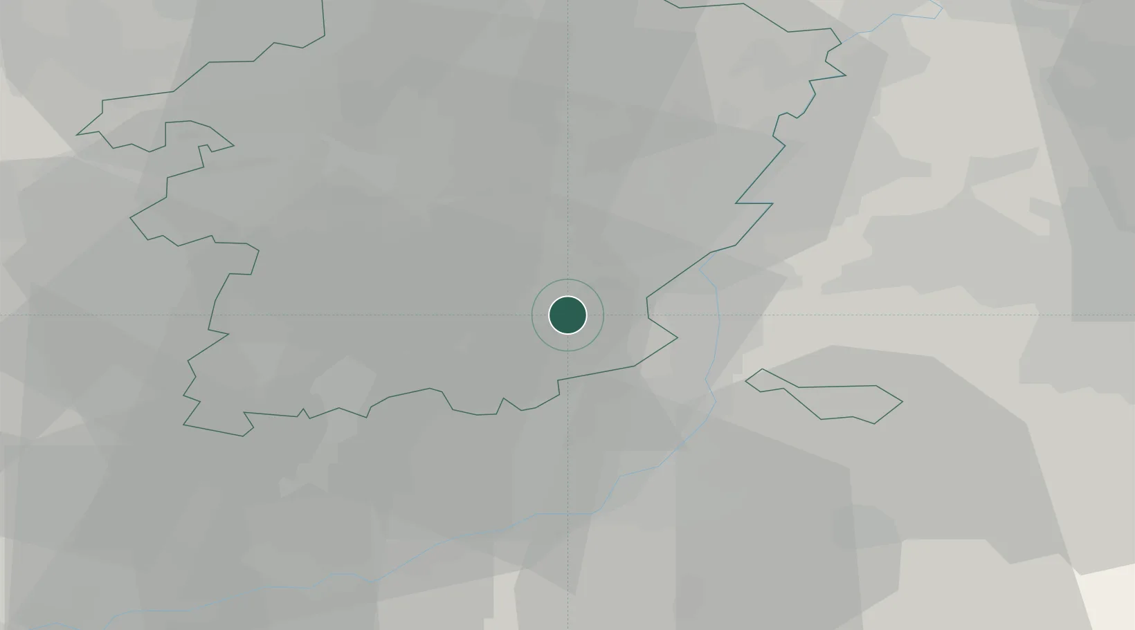
Location
Nearby Logistics Neighbours
Cities
- 1Kleine-Spouwen1 km
- 2Grote-Spouwen1 km
- 3Eigenbilzen5 km
- 4Briegden7 km
- 5Vroenhoven7 km
Airports
- 1Maastricht Aachen Airport19 km
- 2Liège Airport23 km
- 3Kleine Brogel Air Base38 km
- 4Geilenkirchen Air Base38 km
- 5Kempen Airport Budel47 km
Trade Zones
- 1Rheinische Revier SWZ60 km
- 2Freeport of Duisburg100 km
- 3ZFU Maubeuge, Louvroil130 km
- 4ZFU Ronde Couture134 km
- 5Luxembourg Free Port142 km
DatabookThe Record of Consolidated Knowledge
Belgium beyond logistics?