Transport Functions
Port
Road
Hub Profile
Place type
Populated place
Region
Flanders
Time zone
Europe/Brussels
Elevation
74 m
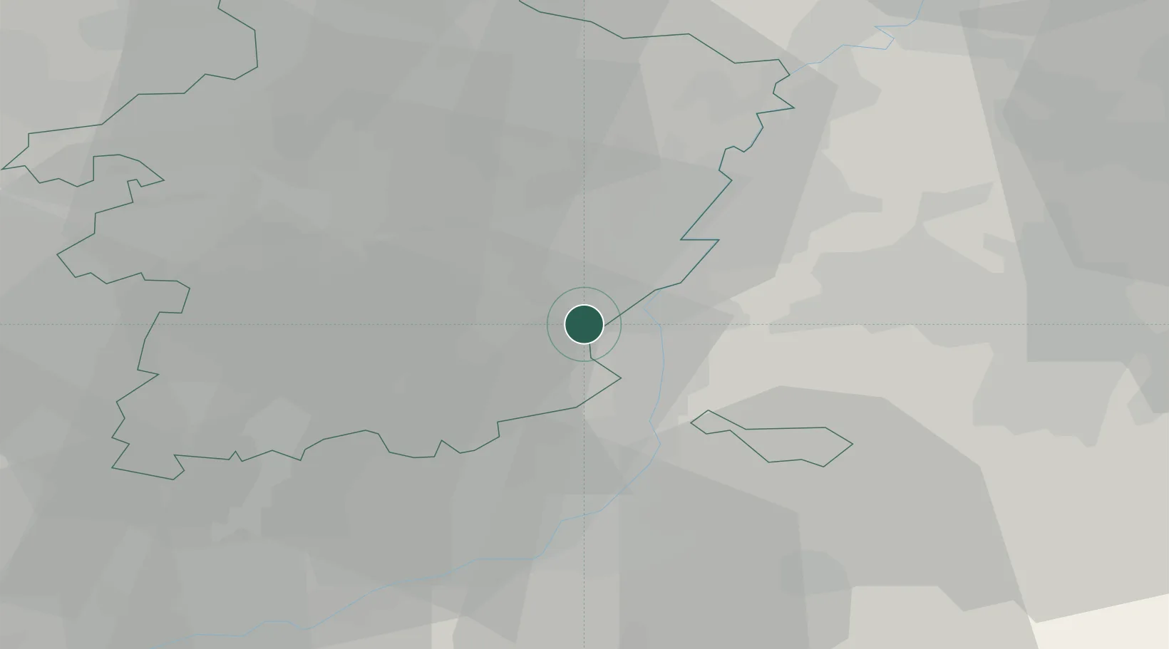
Location
Nearby Logistics Neighbours
Cities
- 1Veldwezelt1 km
- 2Gellik2 km
- 3Eigenbilzen2 km
- 4Lanaken3 km
- 5Vroenhoven6 km
Airports
- 1Maastricht Aachen Airport12 km
- 2Liège Airport28 km
- 3Geilenkirchen Air Base32 km
- 4Kleine Brogel Air Base35 km
- 5Kempen Airport Budel43 km
Trade Zones
- 1Rheinische Revier SWZ54 km
- 2Freeport of Duisburg94 km
- 3ZFU Maubeuge, Louvroil137 km
- 4ZFU Ronde Couture140 km
- 5Luxembourg Free Port143 km
DatabookThe Record of Consolidated Knowledge
Belgium beyond logistics?