UN/LOCODE hub · Belgium
BEVSC

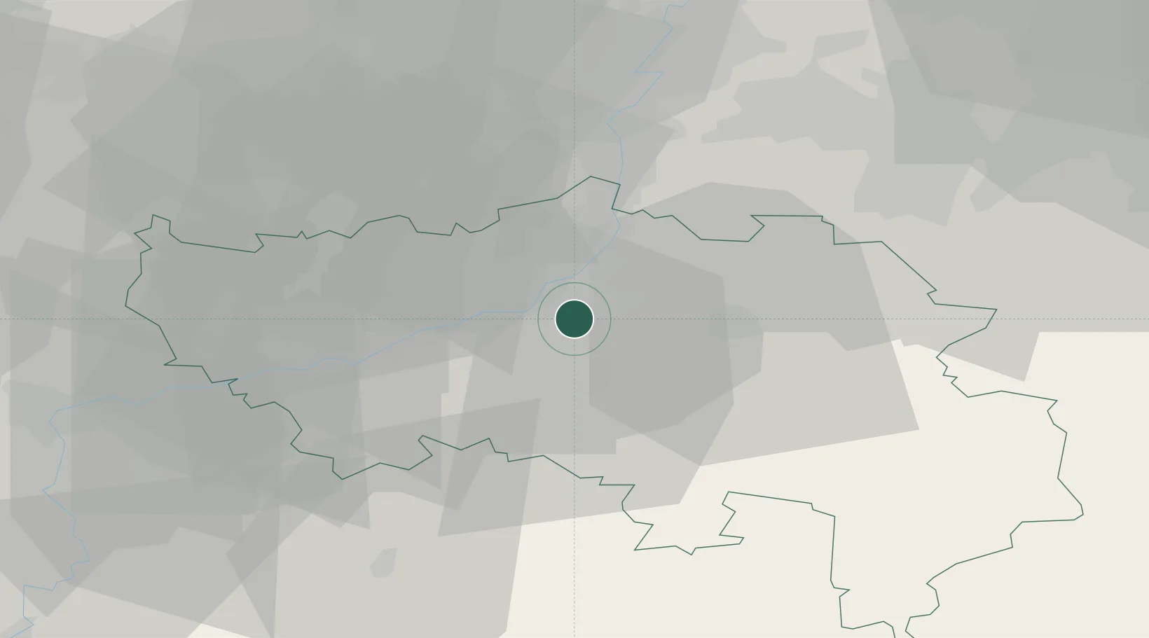
Vaux-sous-Chèvremont

50.6000°, 5.6333°
6,503
Population
2
Transport functions

Transport Functions

Rail
Road
UN/LOCODE

Hub Profile

Place type
Populated place
GeoNames
Region
Wallonia
GeoNames
Population
6,503
GeoNames
Time zone
Europe/Brussels
GeoNames
Elevation
72 m
GeoNames

Location

Location of BEVSC
Natural Earth 10m (public domain) · Wallonia · BEVSC · 50.60, 5.63GoogleOSMYandex

Nearby Logistics Neighbours

Cities
  1. 1Beyne-Heusay2 km
  2. 2Grivegnée3 km
  3. 3Angleur4 km
  4. 4Liège5 km
  5. 5Jupille-sur-Meuse6 km
Nearest neighbours — logibook spatial index (haversine) over the source coordinates
Ports
  1. 1Bruxelles95 km
  2. 2Antwerpen110 km
  3. 3Ghent143 km
  4. 4Hansweert148 km
  5. 5Dordrecht152 km
Nearest neighbours — logibook spatial index (haversine) over the source coordinates
Airports
  1. 1Liège Airport14 km
  2. 2Maastricht Aachen Airport36 km
  3. 3Geilenkirchen Air Base49 km
  4. 4Beauvechain Air Base63 km
  5. 5Kleine Brogel Air Base64 km
Nearest neighbours — logibook spatial index (haversine) over the source coordinates
Trade Zones
  1. 1Rheinische Revier SWZ63 km
  2. 2Luxembourg Free Port115 km
  3. 3ZFU Ronde Couture115 km
  4. 4Freeport of Duisburg115 km
  5. 5ZFU Maubeuge, Louvroil126 km
Nearest neighbours — logibook spatial index (haversine) over the source coordinates
DatabookThe Record of Consolidated Knowledge
Belgium beyond logistics?
Browse databook

All Sources

LocationsUN/LOCODE
UN/LOCODE — free
LocationsGeoNames
CC BY 4.0
Portsthe NGA World Port Index
Public domain (US gov)
AirportsOurAirports
Public domain
Trade Zonesthe World Bank SEZ database
CC BY 4.0
Trade ZonesOpen Zone Map
CC BY
← Belgium locations