Transport Functions
Rail
Road
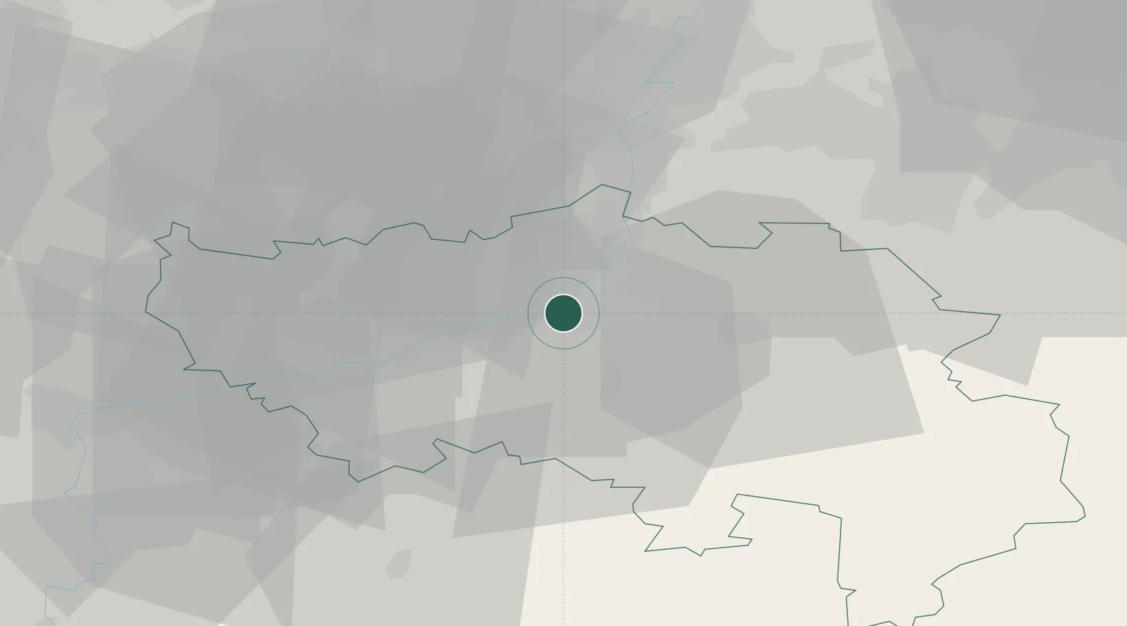
Hub Profile
Place type
Populated place
Region
Wallonia
Population
21,057
Time zone
Europe/Brussels
Elevation
99 m
Location
Nearby Logistics Neighbours
Cities
- 1Angleur1 km
- 2Liège3 km
- 3Vaux-sous-Chèvremont3 km
- 4Sclessin4 km
- 5Beyne-Heusay4 km
Airports
- 1Liège Airport11 km
- 2Maastricht Aachen Airport35 km
- 3Geilenkirchen Air Base49 km
- 4Beauvechain Air Base61 km
- 5Kleine Brogel Air Base62 km
Trade Zones
- 1Rheinische Revier SWZ64 km
- 2Freeport of Duisburg115 km
- 3ZFU Ronde Couture115 km
- 4Luxembourg Free Port117 km
- 5ZFU Maubeuge, Louvroil125 km
DatabookThe Record of Consolidated Knowledge
Belgium beyond logistics?