Transport Functions
Port
Road
Hub Profile
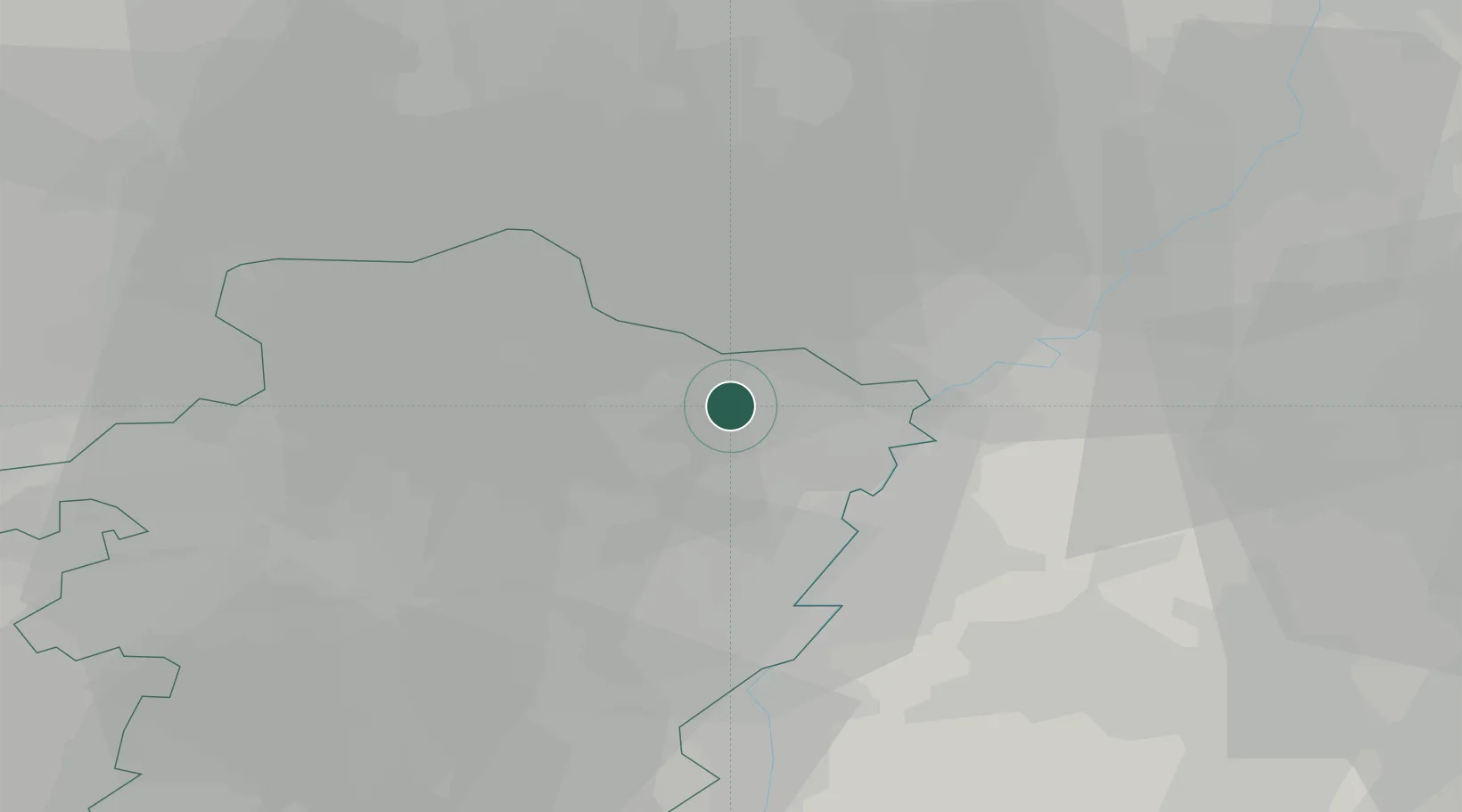
Place type
Populated place
Region
Flanders
Population
1,249
Time zone
Europe/Brussels
Elevation
38 m
Location
Nearby Logistics Neighbours
Cities
- 1Opitter2 km
- 2Bree5 km
- 3Neeroeteren6 km
- 4Kinrooi6 km
- 5Bocholt7 km
Airports
- 1Kleine Brogel Air Base14 km
- 2Kempen Airport Budel14 km
- 3Maastricht Aachen Airport26 km
- 4Geilenkirchen Air Base33 km
- 5Eindhoven Airport41 km
Trade Zones
- 1Rheinische Revier SWZ56 km
- 2Freeport of Duisburg73 km
- 3ZFU Maubeuge, Louvroil156 km
- 4ZFU Condé sur lEscaut165 km
- 5ZFU Ronde Couture168 km
DatabookThe Record of Consolidated Knowledge
Belgium beyond logistics?