Transport Functions
Port
Road
Hub Profile
Place type
Populated place
Region
Wallonia
Time zone
Europe/Brussels
Elevation
98 m
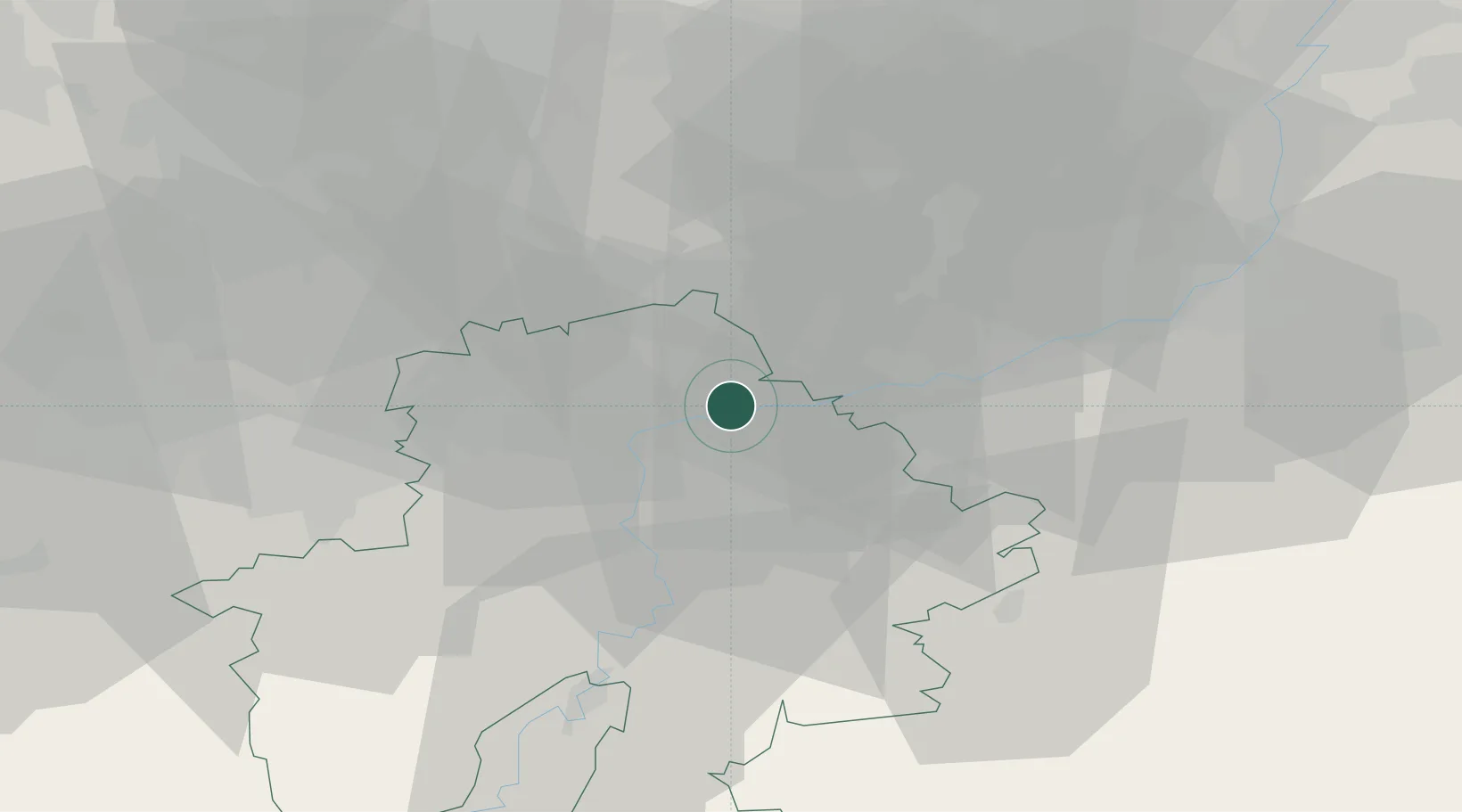
Location
Nearby Logistics Neighbours
Cities
- 1Vezin1 km
- 2Marche-les-Dames3 km
- 3Sclayn3 km
- 4Namêche4 km
- 5Samson4 km
Airports
- 1Beauvechain Air Base33 km
- 2Liège Airport35 km
- 3Florennes Air Base38 km
- 4Brussels South Charleroi Airport39 km
- 5Brussels Airport58 km
Trade Zones
- 1ZFU Maubeuge, Louvroil80 km
- 2ZFU Ronde Couture86 km
- 3ZFU Condé sur lEscaut101 km
- 4Rheinische Revier SWZ107 km
- 5ZFU Denain, Douchy-les-Mines, Escaudain et Lourches117 km
DatabookThe Record of Consolidated Knowledge
Belgium beyond logistics?