Transport Functions
Port
Road
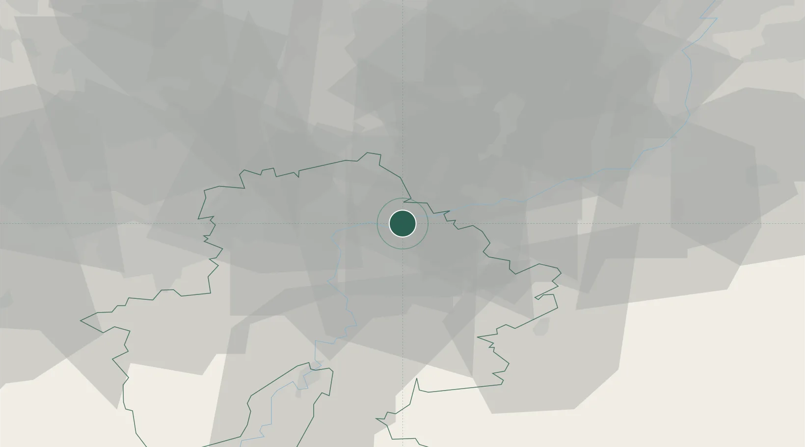
Hub Profile
Place type
Populated place
Region
Wallonia
Population
1,668
Time zone
Europe/Brussels
Elevation
79 m
Location
Nearby Logistics Neighbours
Cities
- 1Vezin2 km
- 2Sclaigneaux3 km
- 3Seilles3 km
- 4Namêche3 km
- 5Samson4 km
Airports
- 1Liège Airport34 km
- 2Beauvechain Air Base36 km
- 3Florennes Air Base38 km
- 4Brussels South Charleroi Airport41 km
- 5Brussels Airport61 km
Trade Zones
- 1ZFU Maubeuge, Louvroil82 km
- 2ZFU Ronde Couture85 km
- 3ZFU Condé sur lEscaut103 km
- 4Rheinische Revier SWZ106 km
- 5ZFU Denain, Douchy-les-Mines, Escaudain et Lourches119 km
DatabookThe Record of Consolidated Knowledge
Belgium beyond logistics?