UN/LOCODE hub · Belgium
BEMLD
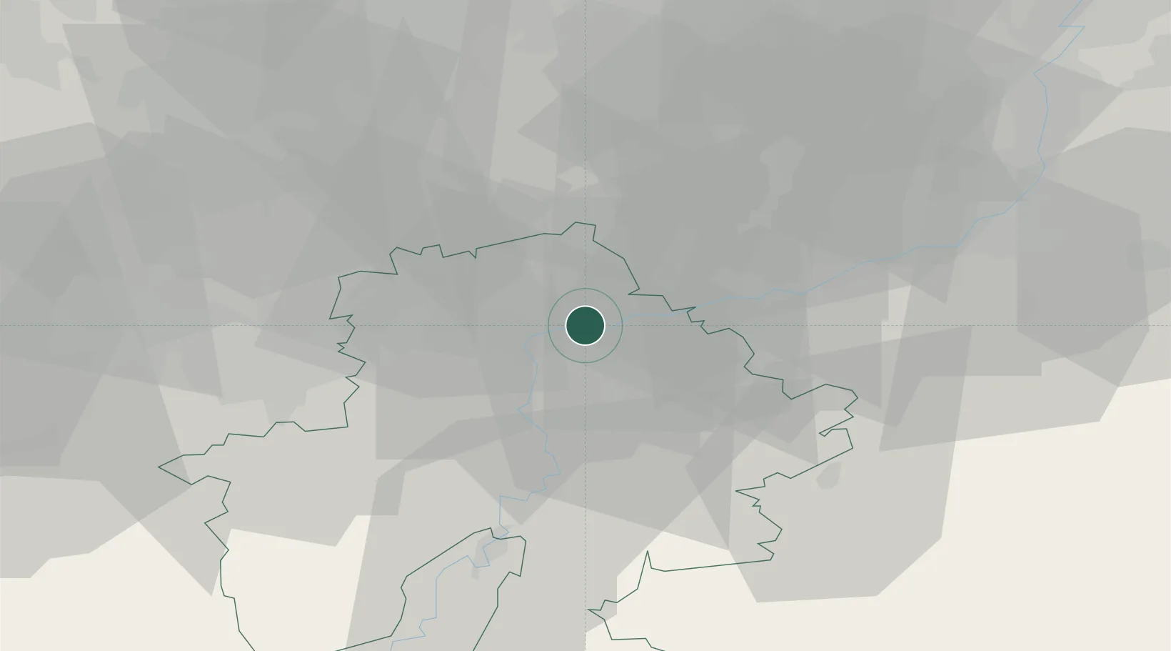
Marche-les-Dames
50.4833°, 4.9667°
1,004
Population
2
Transport functions
Transport Functions
Port
Road
Hub Profile
Place type
Populated place
Region
Wallonia
Population
1,004
Time zone
Europe/Brussels
Elevation
103 m
Location
Nearby Logistics Neighbours
Cities
- 1Samson2 km
- 2Sclaigneaux3 km
- 3Namêche3 km
- 4Vezin4 km
- 5Beez4 km
Airports
- 1Beauvechain Air Base34 km
- 2Florennes Air Base35 km
- 3Brussels South Charleroi Airport36 km
- 4Liège Airport38 km
- 5Brussels Airport58 km
Trade Zones
DatabookThe Record of Consolidated Knowledge
Belgium beyond logistics?