UN/LOCODE hub · Belgium
BESFY
Sint-Amandsberg
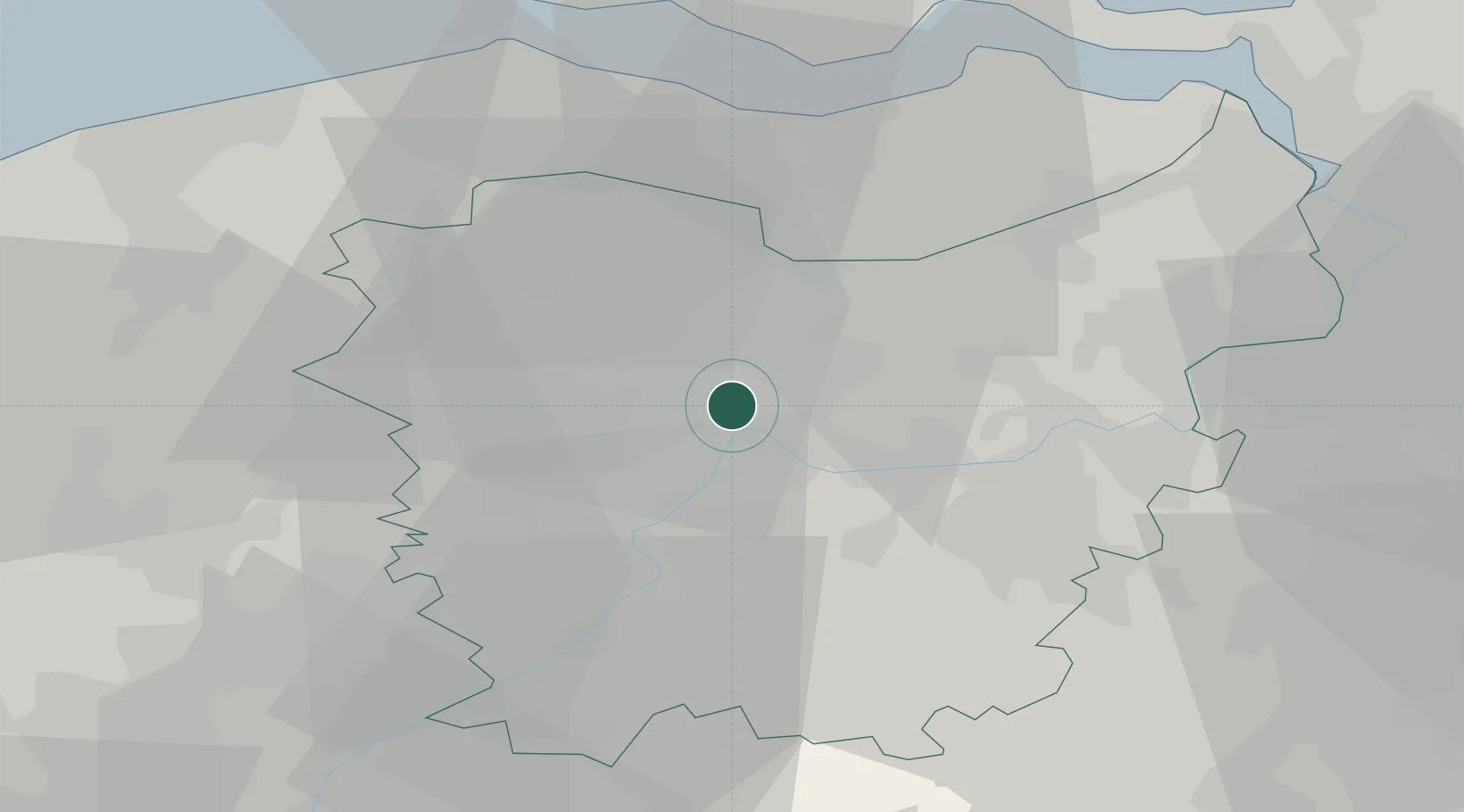
51.0667°, 3.7500°
32,115
Population
2
Transport functions
Transport Functions
Rail
Road
Hub Profile
Place type
Populated place
Region
Flanders
Population
32,115
Time zone
Europe/Brussels
Elevation
9 m
Location
Nearby Logistics Neighbours
Cities
- 1Gentbrugge2 km
- 2Wondelgem3 km
- 3Ledeberg4 km
- 4Langerbrugge6 km
- 5Drongen6 km
Ports
- 1Ghent1 km
- 2Terneuzen32 km
- 3Bruges42 km
- 4Vlissingen44 km
- 5Hansweert46 km
Airports
Trade Zones
DatabookThe Record of Consolidated Knowledge
Belgium beyond logistics?