Transport Functions
Port
Road
Hub Profile
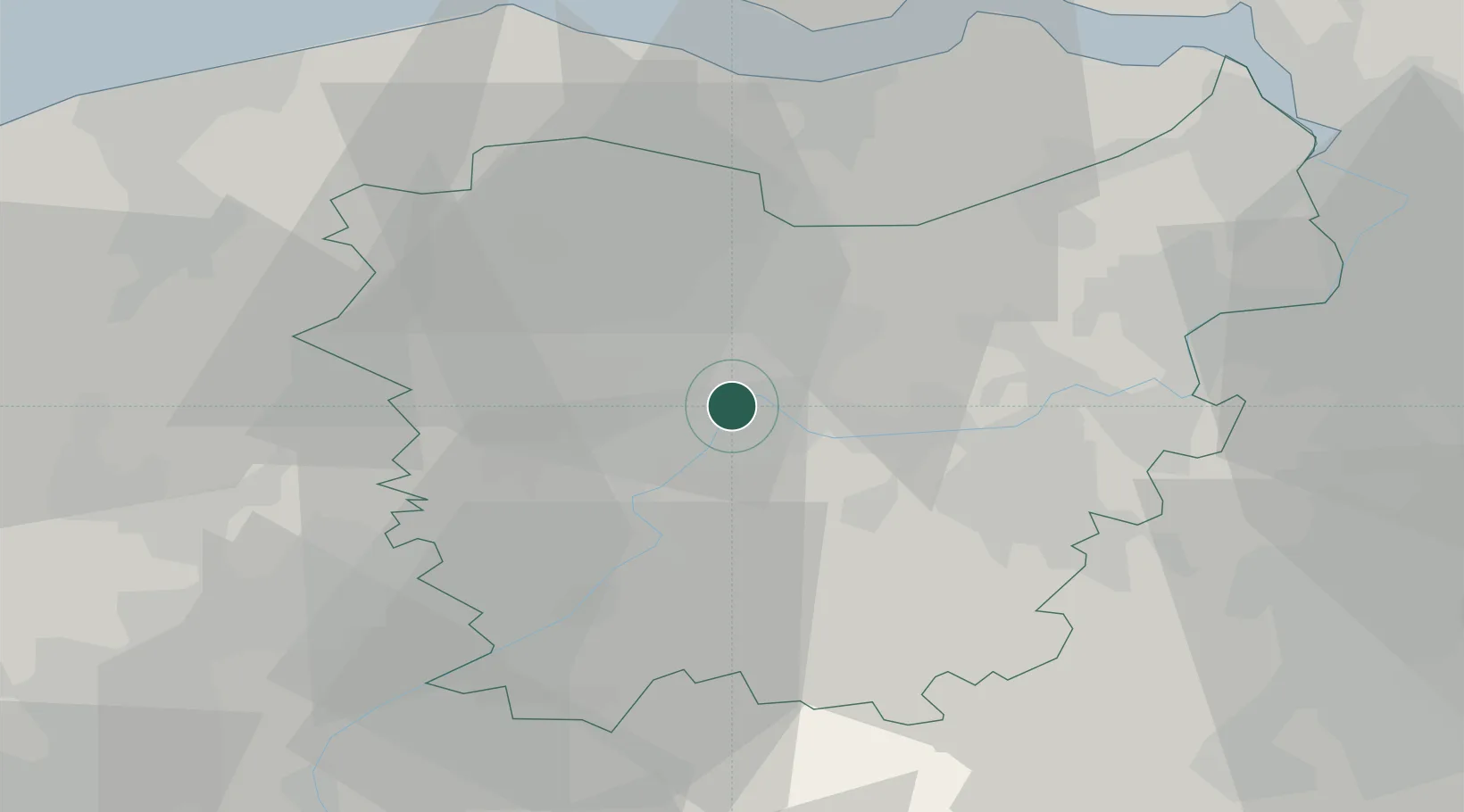
Place type
Populated place
Region
Flanders
Population
8,454
Time zone
Europe/Brussels
Elevation
10 m
Location
Nearby Logistics Neighbours
Cities
- 1Gentbrugge2 km
- 2Merelbeke4 km
- 3Sint-Amandsberg4 km
- 4Zwijnaarde4 km
- 5Melle5 km
Ports
- 1Ghent4 km
- 2Terneuzen36 km
- 3Bruges43 km
- 4Bruxelles46 km
- 5Vlissingen48 km
Airports
Trade Zones
DatabookThe Record of Consolidated Knowledge
Belgium beyond logistics?