Transport Functions
Port
Road
Hub Profile
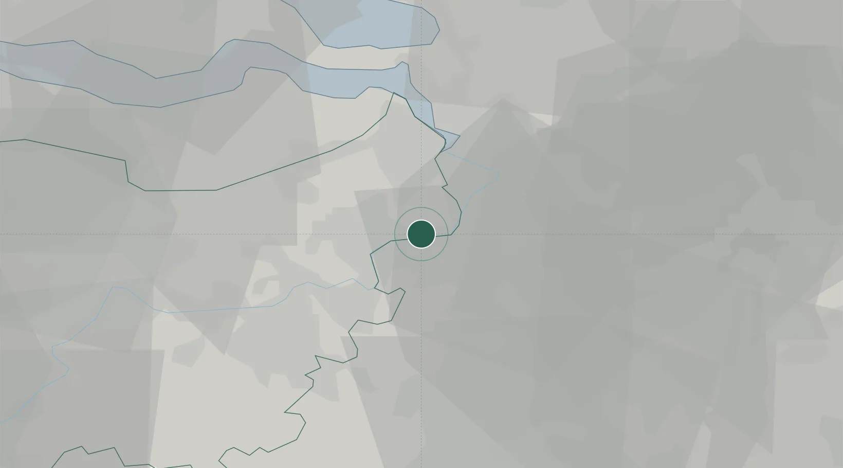
Place type
Populated place
Region
Flanders
Population
3,492
Time zone
Europe/Brussels
Elevation
11 m
Location
Nearby Logistics Neighbours
Cities
- 1Rupelmonde1 km
- 2Bazel3 km
- 3Temse4 km
- 4Hingene4 km
- 5Wintham4 km
Airports
- 1Antwerp International Airport (Deurne)15 km
- 2Brussels Airport30 km
- 3Woensdrecht Air Base36 km
- 4Beauvechain Air Base55 km
- 5Gilze Rijen Air Base67 km
Trade Zones
- 1ZFU Condé sur lEscaut89 km
- 2ZFU Tourcoing90 km
- 3ZFU Hem et Roubaix92 km
- 4ZFU Maubeuge, Louvroil100 km
- 5ZFU de Lille et de Loos104 km
DatabookThe Record of Consolidated Knowledge
Belgium beyond logistics?