Transport Functions
Port
Road
Hub Profile
Place type
Populated place
Region
Flanders
Time zone
Europe/Brussels
Elevation
7 m
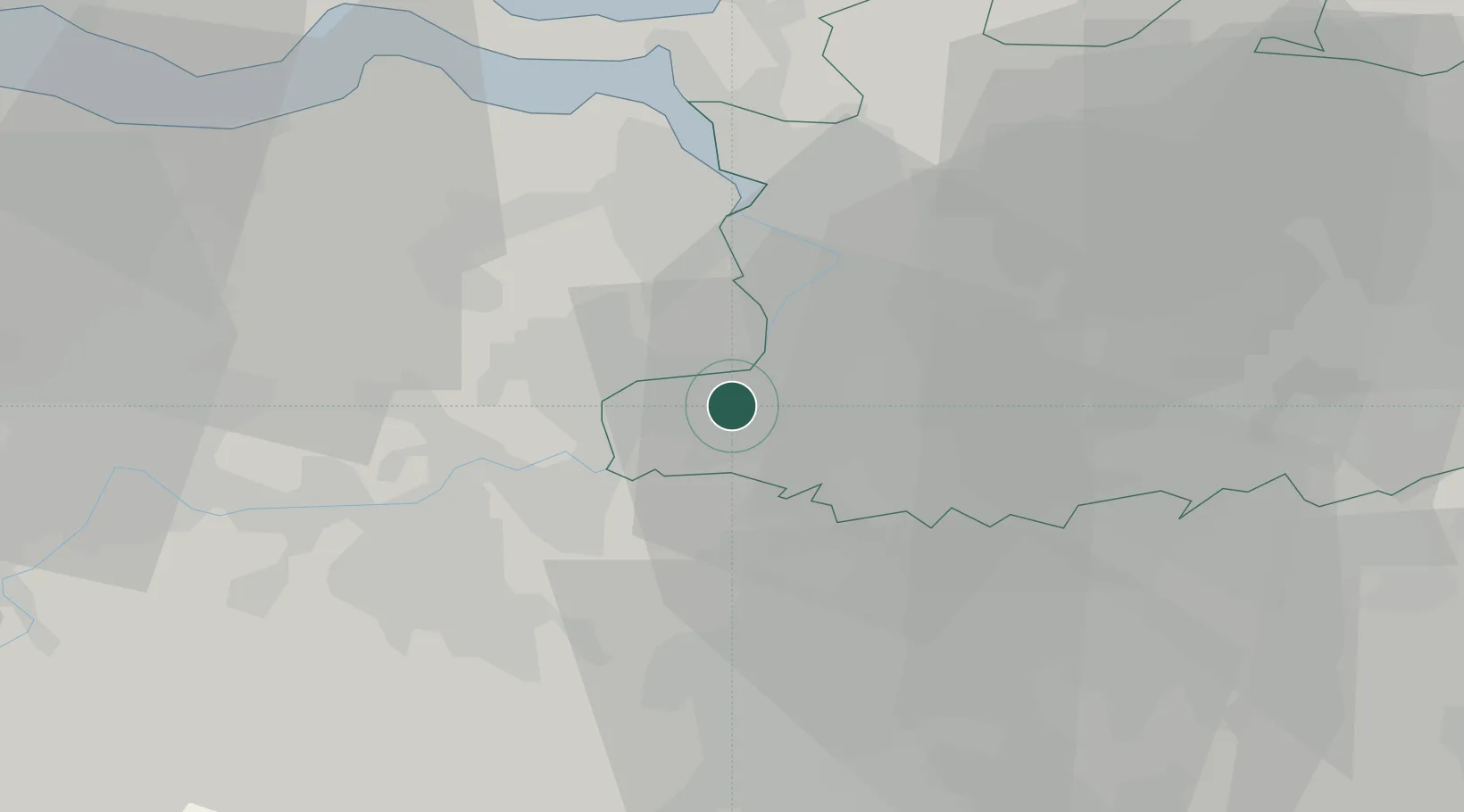
Location
Nearby Logistics Neighbours
Cities
- 1Hingene2 km
- 2Niel3 km
- 3Ruisbroek3 km
- 4Noeveren4 km
- 5Rupelmonde4 km
Airports
- 1Antwerp International Airport (Deurne)15 km
- 2Brussels Airport26 km
- 3Woensdrecht Air Base39 km
- 4Beauvechain Air Base50 km
- 5Chièvres Air Base67 km
Trade Zones
- 1ZFU Condé sur lEscaut87 km
- 2ZFU Tourcoing90 km
- 3ZFU Hem et Roubaix92 km
- 4ZFU Maubeuge, Louvroil97 km
- 5ZFU de Lille et de Loos104 km
DatabookThe Record of Consolidated Knowledge
Belgium beyond logistics?