Transport Functions
Multimodal
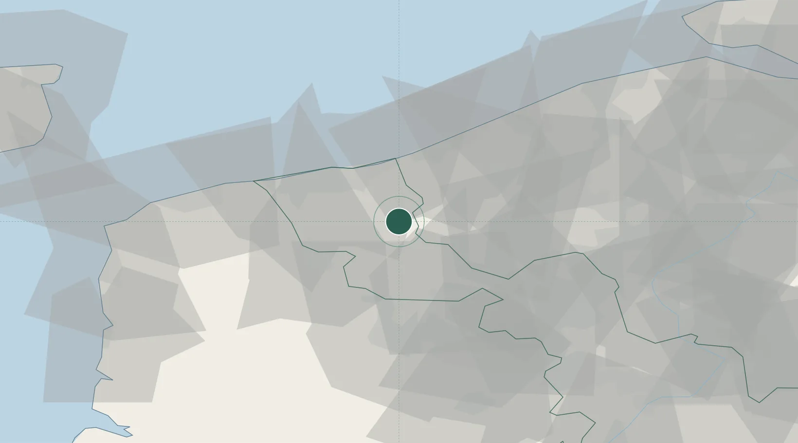
Hub Profile
Place type
Populated place
Region
Hauts-de-France
Population
1,328
Time zone
Europe/Paris
Elevation
12 m
Location
Nearby Logistics Neighbours
Cities
- 1Wormhout6 km
- 2Roesbrugge7 km
- 3Roesbrugge-Haringe7 km
- 4Hardifort8 km
- 5Cassel10 km
Ports
- 1Dunkerque Port Est24 km
- 2Nieuwpoort32 km
- 3Gravelines32 km
- 4Oostende47 km
- 5Calais49 km
Airports
Trade Zones
- 1ZFU Saint Pol sur Mer22 km
- 2ZFU de Lille et de Loos44 km
- 3ZFU Tourcoing47 km
- 4ZFU Hem et Roubaix50 km
- 5ZFU Calais50 km
DatabookThe Record of Consolidated Knowledge
France beyond logistics?