Transport Functions
Port
Road
Hub Profile
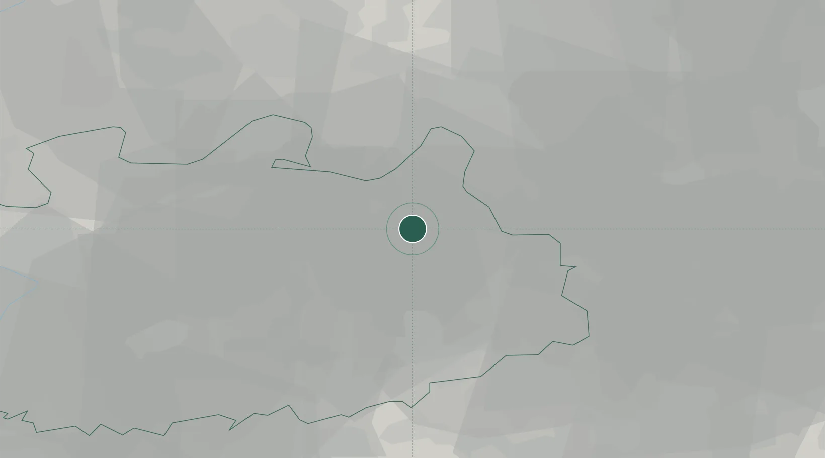
Place type
Populated place
Region
Flanders
Population
12,354
Time zone
Europe/Brussels
Elevation
25 m
Location
Nearby Logistics Neighbours
Airports
- 1Gilze Rijen Air Base28 km
- 2Eindhoven Airport31 km
- 3Kleine Brogel Air Base38 km
- 4Antwerp International Airport (Deurne)39 km
- 5Kempen Airport Budel44 km
Trade Zones
- 1Rheinische Revier SWZ108 km
- 2Freeport of Duisburg112 km
- 3ZFU Condé sur lEscaut137 km
- 4ZFU Maubeuge, Louvroil139 km
- 5ZFU Tourcoing144 km
DatabookThe Record of Consolidated Knowledge
Belgium beyond logistics?