Transport Functions
Port
Road
Hub Profile
Place type
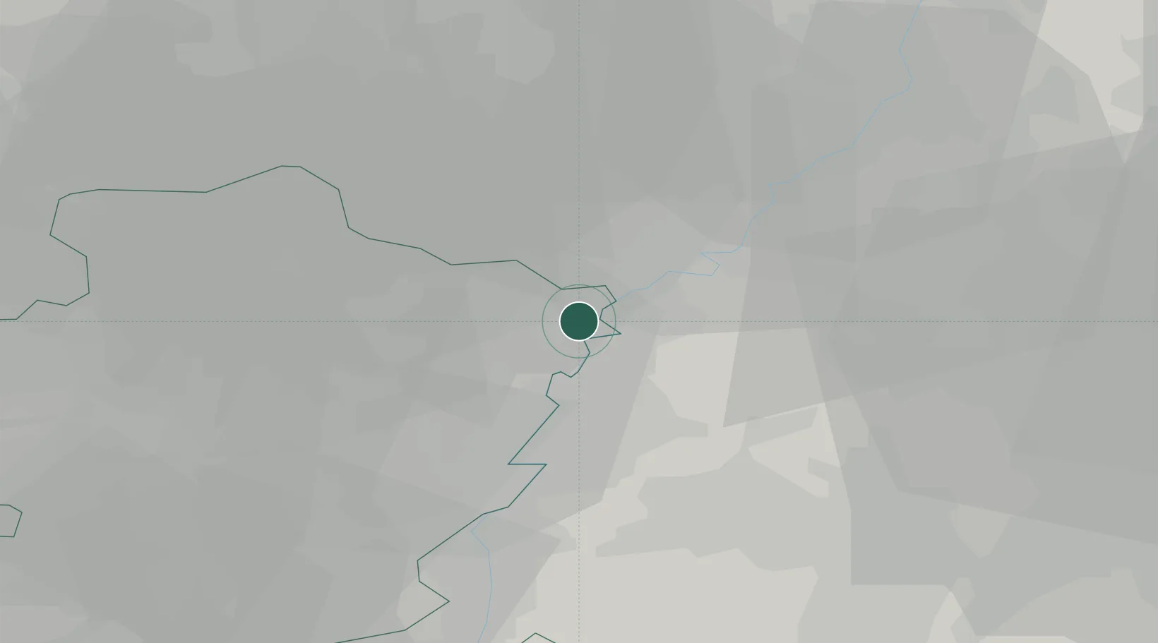
Populated place
Region
Flanders
Population
3,104
Time zone
Europe/Brussels
Elevation
31 m
Location
Nearby Logistics Neighbours
Cities
- 1Maaseik2 km
- 2Kessenich4 km
- 3Roosteren4 km
- 4Kinrooi5 km
- 5Illikhoven6 km
Airports
- 1Kempen Airport Budel21 km
- 2Maastricht Aachen Airport23 km
- 3Kleine Brogel Air Base24 km
- 4Geilenkirchen Air Base24 km
- 5Eindhoven Airport47 km
Trade Zones
- 1Rheinische Revier SWZ47 km
- 2Freeport of Duisburg66 km
- 3ZFU Maubeuge, Louvroil162 km
- 4Luxembourg Free Port167 km
- 5ZFU Ronde Couture171 km
DatabookThe Record of Consolidated Knowledge
Belgium beyond logistics?