Transport Functions
Port
Road
Hub Profile
Region
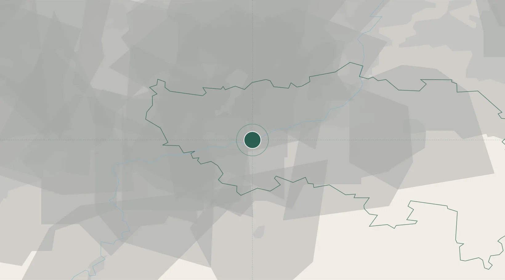
WLG
Location
Nearby Logistics Neighbours
Cities
- 1Amay1 km
- 2Flône2 km
- 3Hermalle-sous-Huy2 km
- 4Ampsin4 km
- 5Neuville-sous-Huy4 km
Airports
- 1Liège Airport13 km
- 2Beauvechain Air Base46 km
- 3Maastricht Aachen Airport51 km
- 4Florennes Air Base60 km
- 5Brussels South Charleroi Airport63 km
Trade Zones
- 1Rheinische Revier SWZ84 km
- 2ZFU Ronde Couture100 km
- 3ZFU Maubeuge, Louvroil104 km
- 4Luxembourg Free Port120 km
- 5ZFU Condé sur lEscaut125 km
DatabookThe Record of Consolidated Knowledge
Belgium beyond logistics?