UN/LOCODE hub · Belgium
BEHMH
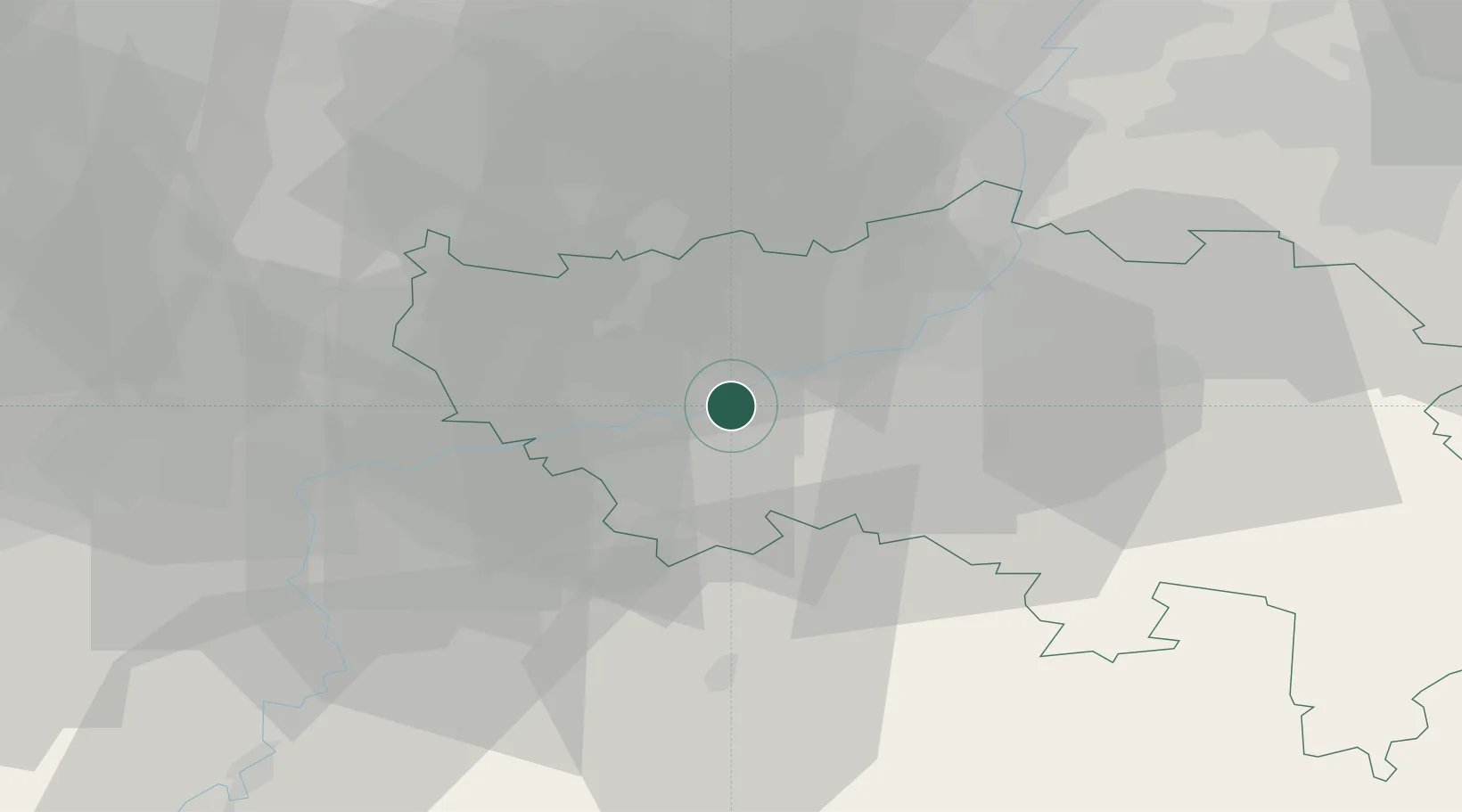
Hermalle-sous-Huy
50.5500°, 5.3667°
1,494
Population
2
Transport functions
Transport Functions
Port
Road
Hub Profile
Place type
Populated place
Region
Wallonia
Population
1,494
Time zone
Europe/Brussels
Elevation
79 m
Location
Nearby Logistics Neighbours
Cities
- 1Ombret-Rawsa2 km
- 2Flône3 km
- 3Amay4 km
- 4Engis5 km
- 5Ivoz-Ramet6 km
Airports
- 1Liège Airport11 km
- 2Beauvechain Air Base48 km
- 3Maastricht Aachen Airport49 km
- 4Florennes Air Base61 km
- 5Brussels South Charleroi Airport65 km
Trade Zones
- 1Rheinische Revier SWZ82 km
- 2ZFU Ronde Couture101 km
- 3ZFU Maubeuge, Louvroil107 km
- 4Luxembourg Free Port118 km
- 5ZFU Condé sur lEscaut127 km
DatabookThe Record of Consolidated Knowledge
Belgium beyond logistics?